Interlaken
Lauterbrunnen 72 Waterfalls: Only 6 Have Names
P
Pierre Vetsch
Author
September 21, 2026
11 min
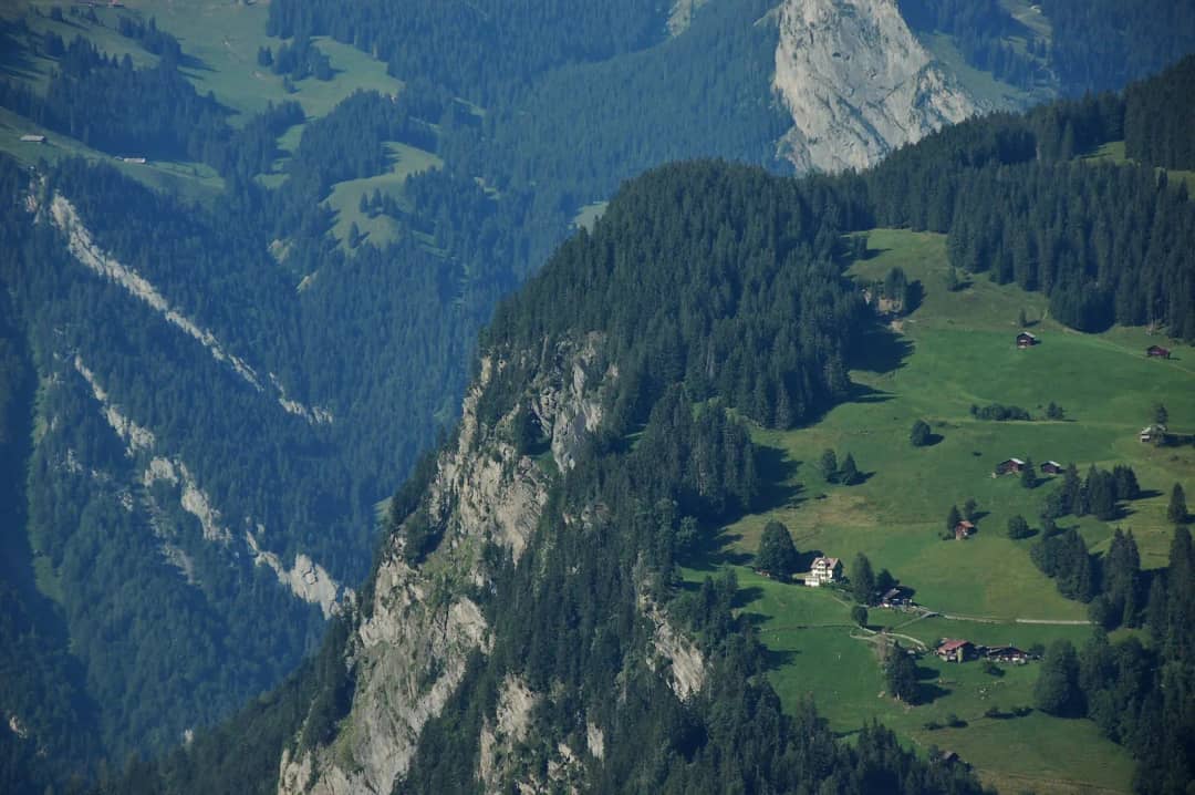
On 6 August 2026 I stood at the Staubbach gallery with guests and watched a dry cliff. Five kilometres up the same valley, the highest waterfall in Switzerland was falling 417 metres onto the meadows at Stechelberg, and not one itinerary I had read that week mentioned it by name.
Every page about this valley opens with the same number. 72 waterfalls. It is an official figure and it is repeated on tourism sites in four languages. What nobody publishes is how few of those 72 you can find, point at, or even name.
So I asked the only register that has to be precise about it. The Swiss federal names database carries six waterfall names for this valley, and the tallest one in the country is not among them.
Are there really 72 waterfalls in Lauterbrunnen?
Yes, the number is official. Jungfrau Region Tourismus writes that the Lauterbrunnen valley alone holds 72 waterfalls, and the regional railway repeats it. What the figure counts is every fall on both cliff walls, permanent and seasonal, most of them thin threads with no name and no path to them.
The figure counts the walls. Treat it as a checklist and your day will disappoint you, because 72 promises abundance and the valley floor in late summer gives you one famous cliff, a lot of dark rock, and a few wet streaks you would not photograph.
The figure is fine. The pages that print it and then send you to the same two car parks are the problem.
How many can you actually see in one day?
From the valley floor between Lauterbrunnen and Stechelberg, plan on seeing one large fall, one paid system inside the rock, and a scatter of thin seasonal threads. The number you count depends far more on the week you come than on how far you walk.
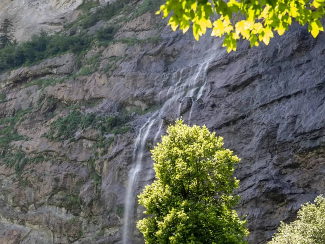
That photograph is one of the 72. It has no name, no sign, and no parking. It is also the honest picture of what most of them look like: a pale thread on grey rock, beautiful in the right light, invisible in a photograph taken from a moving bus.
The two you will certainly see are the Staubbach above the village and the Trümmelbach inside the mountain, and our day trip to Lauterbrunnen guide covers both, including which one runs in which month and what the tickets cost.
Insider tip: in August the valley is only quiet before 10:00 and after 17:00. We aim to be in the valley between 8 and 9 in August, because between those hours the coaches own the road and the car parks, and thin waterfalls on a shaded wall are the first thing you stop noticing.
Which is higher, the Staubbach or the Mürrenbach?
The Mürrenbachfall, by 120 metres. Switzerland Tourism puts it at 417 metres and calls it the highest waterfall in Switzerland. The Staubbach is 297 metres and holds a narrower title: the highest free falling waterfall in the country, the one that leaves the rock completely.
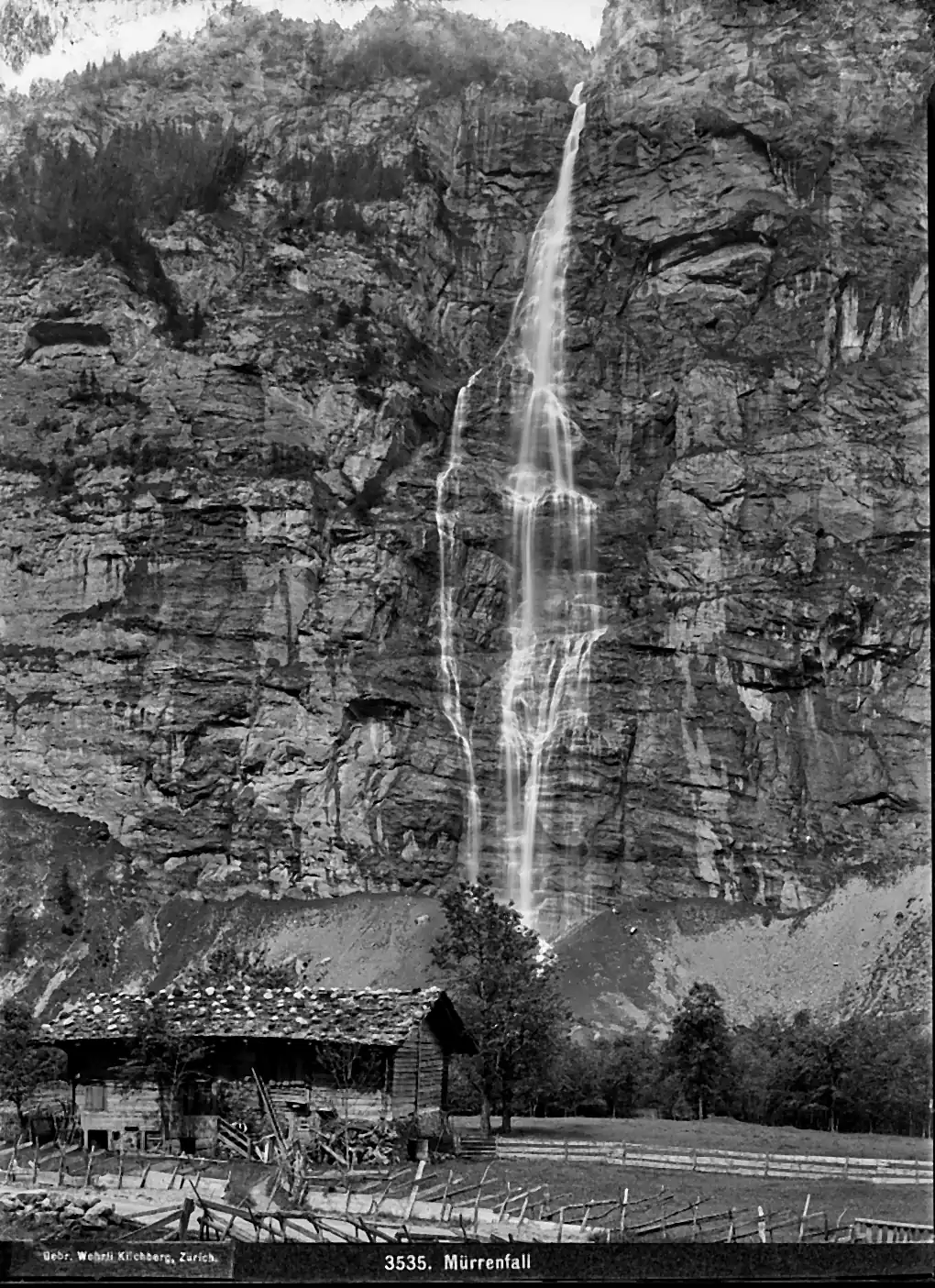
That photograph was taken by the Wehrli brothers of Kilchberg more than a century ago, and the plate is captioned Mürrenfall. The waterfall was famous enough to be sold as a postcard view. Today it has no visitor centre, no ticket desk and no queue.
My verdict cuts against every itinerary in this valley. For the tallest waterfall in Switzerland, look at the wall above Stechelberg, not at the Staubbach. The best view of it comes with the cable car ticket most visitors buy anyway: the Schilthornbahn from Stechelberg passes the fall on the way up to Mürren.
The catch is the calendar. Switzerland Tourism says the Mürrenbachfall has its big moments after the spring snowmelt and after heavy summer thunderstorms. In a dry August it thins out like everything else on this wall.
I only point it out to guests some of the time, and that is the problem in one line. The tallest waterfall in the country has nobody insisting that you look at it.
Which waterfalls have a name, and why so few?
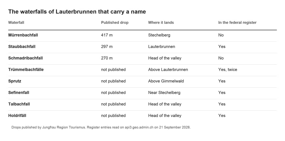
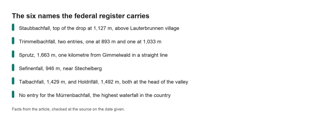
Six. I queried the federal names register, swissNAMES3D, through the geoportal on 21 September 2026, over a rectangle covering the whole valley. It returned seven waterfall entries carrying six distinct names: Staubbachfall, Trimmelbachfäll (listed twice), Sprutz, Sefinenfall, Talbachfall and Holdrifäll.
The register records names people actually use, not every feature on the map. A waterfall earns a name when it matters to the people farming under it: it marks a boundary, it floods a path, it waters an alp. The other sixty odd have never needed one.
Six names against seventy two falls tells you what to expect. Most of those 72 are seasonal and anonymous, which is why the two with a ticket desk and a bus stop take in almost everyone who steps off the train.
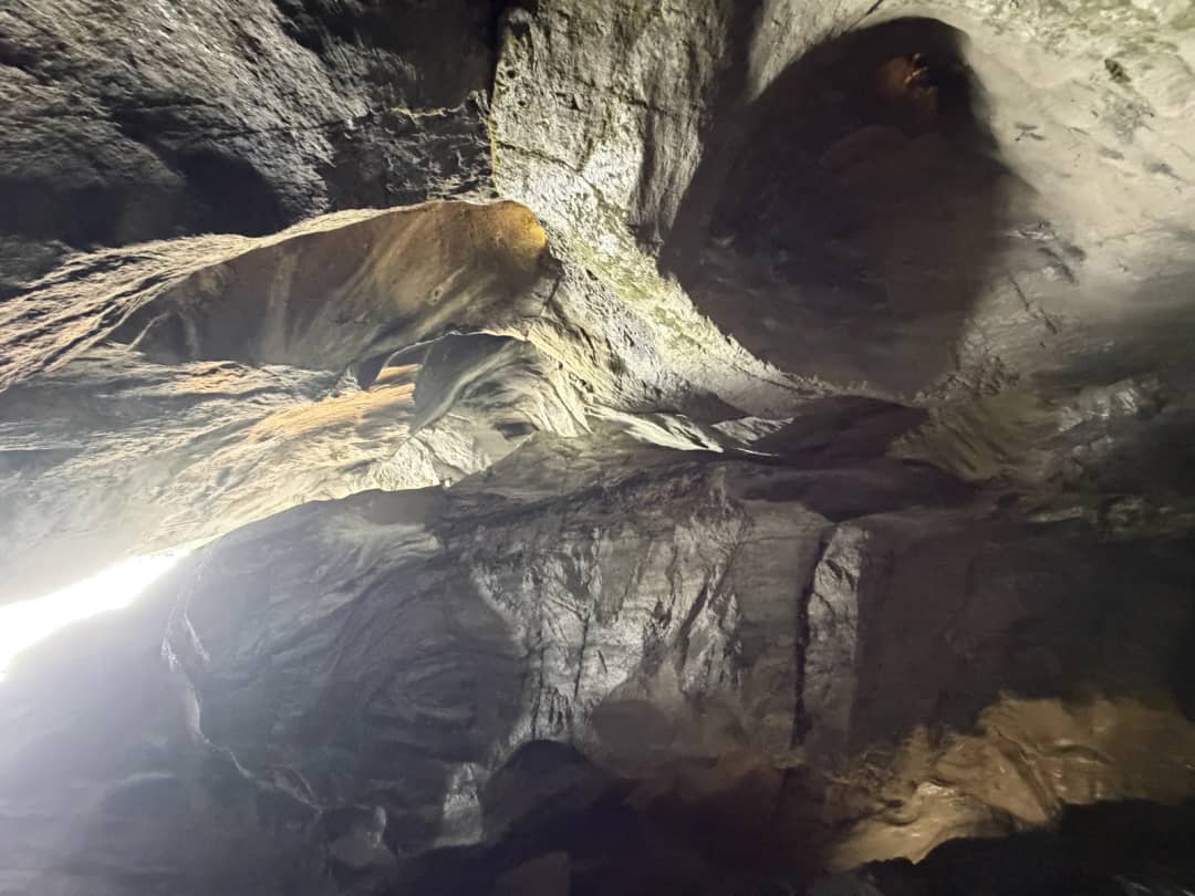
Fun fact: the Mürrenbachfall, the highest waterfall in the country, has no entry in the federal names register for this valley. The Trümmelbach has two, one at 893 metres and one at 1,033 metres, because the register marks the bottom and the top of a system that runs inside the rock.
The Sprutz: the other waterfall you can walk behind
Almost nobody knows there are two. Jungfrau Region Tourismus writes of the Sprutz that the path runs behind the waterfall, so the walk often comes with a small cold shower. It sits above Gimmelwald, on the west wall, and it costs nothing.

The register puts the Sprutz at 1,663 metres above sea level, a kilometre from Gimmelwald in a straight line, measured from the federal coordinates on 21 September 2026. Gimmelwald sits at 1,380 metres. That leaves you 280 metres of climbing on a mountain path. Allow two hours return from the village, and expect wet rock under your feet at the top.
I have walked up to it. You choose between a queue and a climb: the famous walk behind water has a coach park at the bottom and a line of people in August, while the Sprutz asks for the climb and hands you the same trick on an empty path.
If a gorge you walk inside is more your thing than a cliff you look at, the Aare Gorge near Meiringen is the version of that experience an hour east of here.
When do the 72 actually run?
Late April to early July. The snowmelt fills every gully on both walls, and that is the only period when the valley looks like the number it advertises. By late August the small ones are gone and the big ones have split into two camps: snow fed falls run dry, glacier fed falls run loud.
Work out which camp a fall belongs to before you plan around it. The Staubbach drains a small shelf above the cliff, so it fades with the snow. The Trümmelbach drains the Eiger, the Mönch and the Jungfrau, so it peaks in the weeks the Staubbach fails. The Mürrenbachfall sits with the snow fed group, which is why Switzerland Tourism points you at spring and at thunderstorms.
Pierre says: "Fifteen minutes if it is not busy, thirty if you have to queue."
Pierre Vetsch, founder and head guide at Swiss Local Adventures
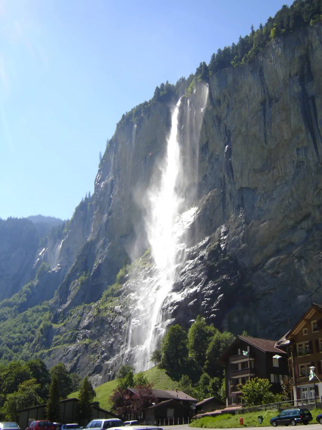
That is the climb to the Staubbach gallery, and it is worth knowing before you spend it on a dry cliff. On 6 August 2026 we climbed it and there was no water at the top. Look up from the main street first. A white column means go, a grey stain means keep your legs for the valley floor.
Rain changes the arithmetic completely. A heavy afternoon storm puts water down gullies that have been dry for a month, and for a few hours the wall behaves the way the brochures promise.
Should you walk the valley up or down?
Walk down the valley, from Stechelberg to Lauterbrunnen, if you want the waterfalls to build. Walk up if you want the mountains in front of you. The path is 6.6 km with 183 metres of gain, rated easy, and AllTrails logs 2 to 2.5 hours across 893 reviews at 4.7 out of 5, read on 21 September 2026.
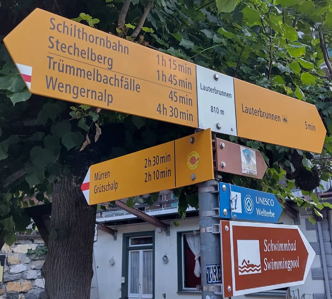
My verdict: walk down. Ending at the Staubbach gives the walk a finish, the Trümmelbach falls at roughly the halfway point where you want a break anyway, and you finish in the village where the trains and the food are rather than at a bus stop. Walking up you spend the last hour with the best thing already behind you.
Reviewers split on this and both sides are right about what they gain. Going up puts the Eiger, the Mönch and the Jungfrau ahead of you; going down puts the famous cliff ahead of you. What nobody warns you about is that the path is paved, exposed and busy near the village, which is why several reviewers describe a walk rather than a hike and one recommends saving it for a foggy day.
Pierre says: "The mistake is not walking in the valley. People stop at the Staubbach and leave."
Pierre Vetsch, founder and head guide at Swiss Local Adventures
We walked Lauterbrunnen to the Trümmelbach on 6 August 2026, about three kilometres, and that stretch holds the anonymous falls. You will miss all of them from a car seat and from the station forecourt.
For where this valley sits against the others, our best day trips from Interlaken page compares it with Grindelwald, Brienz and the Haslital.
Your Questions About the Lauterbrunnen Waterfalls
These five questions come up on almost every day we spend in this valley, and the answers below are the ones we give guests on the road. Every height, distance and opening date was checked at its official source on 21 September 2026, so check them again if you are reading this a season later.
Can you see all 72 waterfalls in Lauterbrunnen?
No, and nobody does. The 72 are spread over both walls of a valley roughly eight kilometres long, many of them high above the floor, behind spurs, or only flowing after rain. There is no viewpoint that shows them all and no route that passes them all. A full day on foot between Lauterbrunnen and Stechelberg in late spring is the closest you get, and even then you are counting threads rather than waterfalls. Come in late April to early July if the number matters to you.
What is the highest waterfall in Lauterbrunnen?
The Mürrenbachfall at Stechelberg, 417 metres, which Switzerland Tourism calls the highest in the country. The Staubbach at 297 metres is the highest free falling one, meaning the water leaves the rock and reaches the ground without touching it again. The Schmadribachfall at the head of the valley drops 270 metres over several steps. For scale, the Reichenbach falls above Meiringen manage 120 metres. Those figures come from Jungfrau Region Tourismus and Switzerland Tourism, read on 21 September 2026.
Can you walk behind a waterfall in Lauterbrunnen?
Yes, in two places. The Staubbach has a rock gallery above the village, free, open from May to October, reached by a fifteen minute climb from the valley floor. The Sprutz above Gimmelwald has a path that runs behind the water, at 1,663 metres, which means a climb of about 280 metres from the village. The first has a queue in August. The second rarely has anybody on it.
Is the Lauterbrunnen valley walk worth doing?
Yes, and it is the part most visitors skip. The path from Stechelberg to Lauterbrunnen is 6.6 km, mostly paved and nearly flat, suitable for buggies and wheelchairs for much of its length, and it is the only way to see the waterfalls that have no name. The honest warnings from recent reviewers are that it is crowded near the village, that it is paved rather than wild, and that there is very little shade.
Do the waterfalls run in winter?
Barely. The small seasonal falls freeze or stop, the Staubbach shrinks to a ribbon and often ices at the base, and the Trümmelbach is closed from early November to early April. November is the emptiest month in this valley, which is worth knowing if quiet matters more to you than water. The gallery behind the Staubbach also closes for the winter. If you are in the region between November and March, the waterfalls are the wrong reason to come to this valley and the Giessbach falls funicular above Lake Brienz is a better cold weather answer.
See the valley the way it is actually running
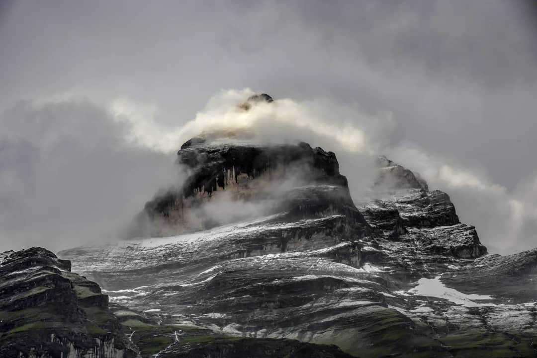
The number on the sign stays at 72 all year. What runs behind it changes every week from April to October. Look at the wall on the morning you arrive, then decide where to spend your legs, instead of driving straight to the two car parks that everyone else uses.
If you would rather not work that out from a train window, design a private day in the valley with us, in a group of no more than eight, and we will tell you honestly which falls are worth the walk on the day you come.
Source: Jungfrau Region Tourismus, Switzerland Tourism, the federal names register at swisstopo, and a day in the valley with guests on 6 August 2026.
Written by Pierre Vetsch, founder and head guide at Swiss Local Adventures
Tags
#lauterbrunnen-waterfalls#waterfalls-switzerland#jungfrau-region#day-trip-interlaken#swiss-alps-hiking
Sources & References
- •Jungfrau Region Tourismus, Die schoensten Wasserfaelle (read 21.09.2026)
- •Switzerland Tourism, Muerrenbach Falls (read 21.09.2026)
- •Federal geoportal swisstopo, swissNAMES3D names register (read 21.09.2026)
- •Photo: Mick Tinbergen on Unsplash, via Wikimedia Commons, CC0
- •Photo: Louis (@suissounet) on Pexels, Pexels licence
- •Photo: Gebr. Wehrli, Kilchberg, Swiss National Library, public domain
- •Photo: Nilington on Wikimedia Commons, public domain
- •Photo: Pududuss on Wikimedia Commons, CC0
- •Photo: Chris Herath on Unsplash, via Wikimedia Commons, CC0
- •Photo: Swiss Local Adventures, inside the Truemmelbach, 6 August 2026
Share this article
Similar Articles
Continue your reading with these related articles
Interlaken
9/20/2026
13 min
25
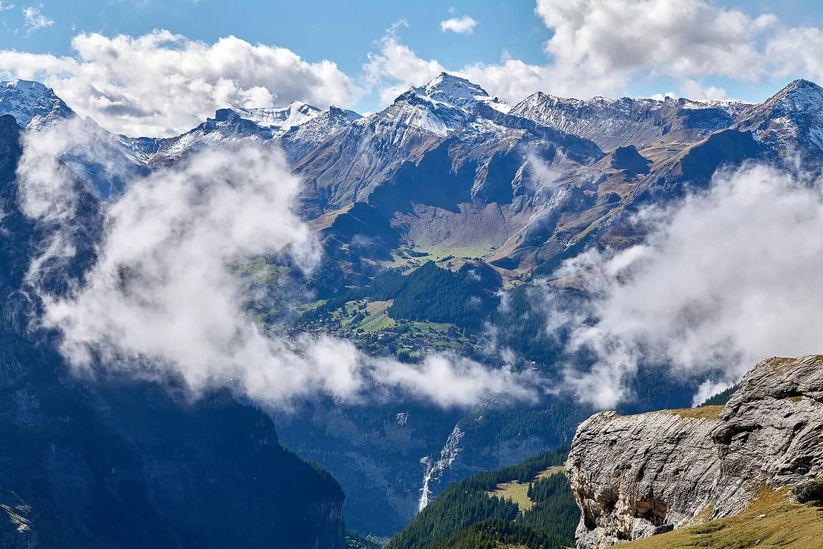
Day Trip to Lauterbrunnen: Which Falls Run
Trummelbach peaks in August, Staubbach can be dry. Train from Interlaken Ost: 22 minutes, CHF 7.80 single. Gorge CHF 18, no online sale.
day-trip-interlakenlauterbrunnen-valleytrummelbach-falls
By Pierre VetschRead More
Interlaken
9/18/2026
11 min
16
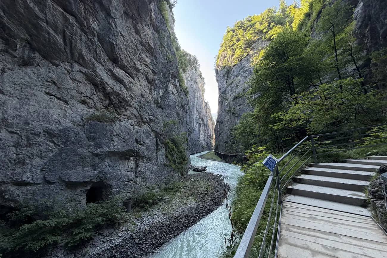
Inside the Aare Gorge: What You See on the Walk
Inside the Aare Gorge: 1,400 metres of walkways and tunnels, 200 metres deep, 1 to 2 metres wide in places. What you see, how it formed, when to go.
aare-gorge-walkgorges-near-interlakenswiss-alps-geology
By Pierre VetschRead More
Interlaken
9/16/2026
12 min
20
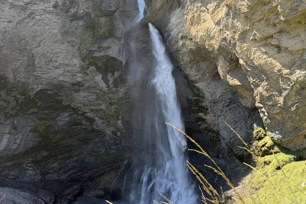
Reichenbach Falls Sherlock Holmes: Find the Star
The white star, the 1957 plaque and the 850 litres a second: what you see at the Reichenbach Falls where Holmes fell. Funicular until 4 October.
sherlock-holmes-switzerlandreichenbach-falls-funicularliterary-travel-switzerland
By Pierre VetschRead More