
Bernese Oberland
Hiking in Lauterbrunnen
From the valley floor to the mountain inns above Stechelberg.
How do I get there?22 min by train from InterlakenThe easiest walk in Lauterbrunnen follows the valley floor past the waterfalls towards Stechelberg, flat enough for a pushchair. The village sits at 795 m, says Lauterbrunnen Tourism, on the floor of a deep trough valley, 22 minutes by train from Interlaken. Steeper trails climb to Wengen, Isenfluh and the mountain inns above Stechelberg. The mistake Pierre sees: stopping at the Staubbach and not walking the valley.
Written by Pierre Vetsch, founder and head guide. Last checked 10 November 2026.
Hiking in Lauterbrunnen at a glance
- Easiest walk: Lauterbrunnen to Stechelberg on the valley floor, fairly flat, fine for pushchairs
Lauterbrunnen Tourism, read 10 Nov 2026 - On foot to Trümmelbach: About 1 hour along the old village road; the falls are about 3 km past the village
Lauterbrunnen Tourism and the falls' operator, read 10 Nov 2026 - Trümmelbach Falls: Open from early April to early November; closed on 10 November 2026
truemmelbachfaelle.ch, read 10 Nov 2026 - Trail marks: Yellow for hiking trails, white-red-white for mountain trails
Swiss Hiking Trails, read 10 Nov 2026
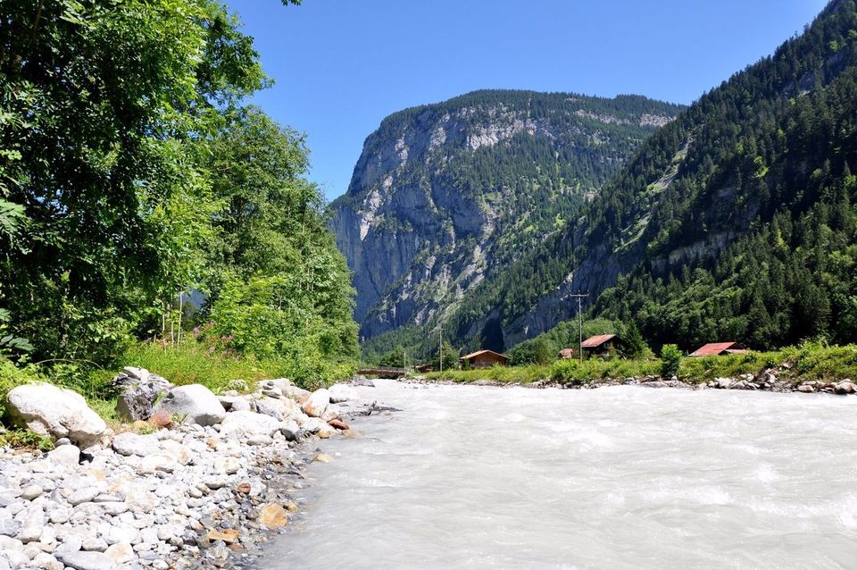
Hikes from Lauterbrunnen and Stechelberg, with official times
The valley walk from Lauterbrunnen to Stechelberg is easy and fairly flat, fine for pushchairs; the climb through the valley of waterfalls to Wengen is medium, 12.28 km in 4 h 40, and only suitable for good, sure-footed and fearless mountain hikers, says Interlaken Tourism. Times, distances and grades come from the official route pages and the inns, read on 10 November 2026.
Lauterbrunnen to Stechelberg, the valley walk
Easy, fairly flatLauterbrunnen Tourism's walk for the highest and loudest waterfalls, fine for pushchairs. Trümmelbach is about an hour on foot along the old village road, about 3 km past the village. PostBus 141 brings you back from Stechelberg in 18 minutes.
The valley walk to StechelbergThrough the valley of waterfalls, Lauterbrunnen to Wengen
Medium, 12.28 km, 4 h 40Past the Staubbach and Trümmelbach, then up beside the gorge on blasted steps, partly secured with wire cables. Interlaken Tourism says this climb is not without danger and only suitable for good, sure-footed and fearless mountain hikers; past the Hotel Trümmelbach, the path is only for experienced mountain hikers. 1,002 m up, 523 m down.
Lauterbrunnen to Wengen via TrümmelbachMap ©swisstopoAlong the Lütschine, Lauterbrunnen to Wilderswil
Easy, 9.5 km, 2 h 20Signposted from Lauterbrunnen station, 300 m down and 20 m up, past a former blast furnace where iron ore was smelted from 1682 to 1831.
Along the LütschineMap ©swisstopoLegend Trail, Stechelberg
3.9 km, about 70 minutesFrom the hamlet of Sandbach to Rütti at the end of the valley, with six posts telling the valley's legends.
The Legend TrailPhoto: Hansueli Krapf, CC BY-SA 3.0Stechelberg to Obersteinberg
About 2 h 30Up to a mountain inn with candlelight and paraffin lamps, its own alpine cheese dairy and mules for supplies, reached only on foot: 2 h 30 from Stechelberg, says the inn. Open from June to September; bookings by phone only.
Stechelberg to ObersteinbergPhoto: Whgler, CC BY-SA 3.0Stechelberg to Berggasthaus Tschingelhorn
About 2 hoursTo an inn built over 150 years ago near the back of the valley, about 1 hour from Trachsellauenen. Open from 16 May to 26 September 2027.
Stechelberg to TschingelhornMap ©swisstopoHoldri falls loop from Stechelberg
Difficult, 13.36 km, 5 h 40Via Trachsellauenen and the old mine to the Holdri falls, which drop in two stages, up to Obersteinberg and back past Tschingelhorn. 1,050 m up and down. A hiking taxi to Trachsellauenen, booked ahead, saves just over an hour of climbing.
The Holdri falls loopMap ©swisstopoWengen down to Lauterbrunnen
45 min to 1 h 10The direct path takes 45 minutes, trail 49 through Wengwald 1 h 10, says Wengen Tourism, with almost 500 m of descent. Pierre takes the train down.
Wengen to LauterbrunnenMap ©swisstopoThe Oberhornsee
The lake at the head of the valley, above Obersteinberg, has its own page: Oberhornsee hike from Stechelberg.
Long-distance stages
Our trail map also has Via Alpina stages 11 and 12 and ViaBerna stage 13, with times and grades on each page. Start with Via Alpina stage 12.
Our verdict
For most visitors, the valley walk to Stechelberg is the one: easy, fairly flat, fine for pushchairs, past the waterfalls, with PostBus 141 back to Lauterbrunnen in 18 minutes in our sample for 20 January 2027.
Above Stechelberg, Obersteinberg is about 2 h 30 up, to a mountain inn reached only on foot, open from June to September.
The route up to Wengen via Trümmelbach is, says Interlaken Tourism, not without danger and only suitable for good, sure-footed and fearless mountain hikers; the train also goes up to Wengen.
Skip the Holdri falls loop on a first visit: graded difficult, 13.36 km and 5 h 40, with 1,050 m up and down.
From November to March, the valley floor is the walk, open all year round; the Trümmelbach Falls on the way stay closed until early April.
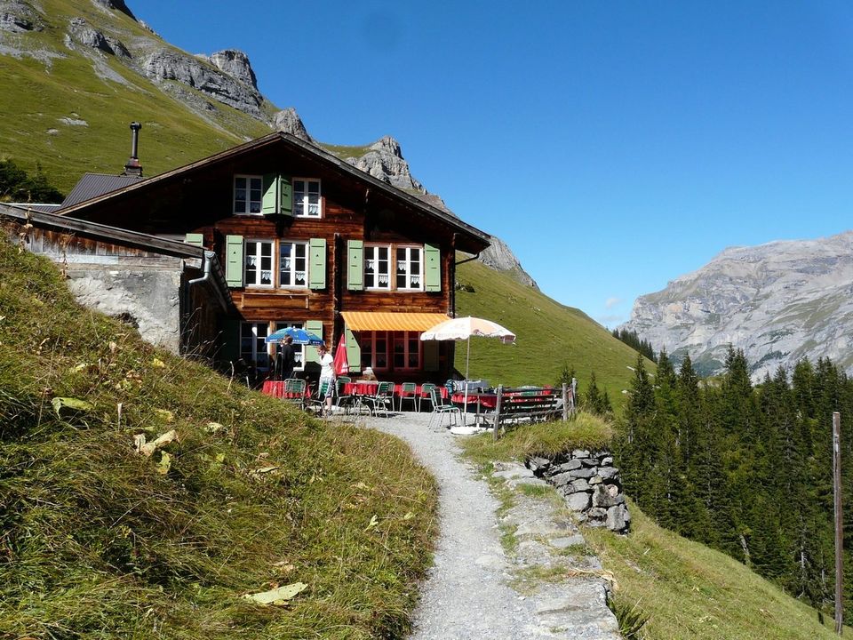
Hikes from Isenfluh and Sulwald, above the valley
From Isenfluh, at just under 1,100 m, a small cable car to Sulwald saves about 435 m of climbing; from Sulwald, trails lead to Grütschalp, Mürren and the Lobhornhütte. The cable car runs every 15 minutes from 7:00 to 18:15.
Sulwald to Grütschalp
T2, 11.3 km, 4 h 25June to October. Up through the forest to the Suls alp and the Sousseewli lake, then steeply down into the Soustal. Back to Lauterbrunnen by cable car from Grütschalp.
Sulwald to GrütschalpMap ©swisstopoIsenfluh to Mürren
Medium, 10.82 km, 3 h 40A mountain trail from Sulwald through the Soustal to Grütschalp, then on to car-free Mürren. Back by train to Grütschalp and cable car to Lauterbrunnen station.
Our Mürren guideSulwald to the Lobhornhütte
SAC hut at 1,955 mA hut with 24 beds facing the Lobhorn peaks, staffed from June to mid or late October. Closed on 10 November 2026; the new season should start on 12 December 2026, weather permitting, with the hut staffed at winter weekends.
Sulwald to the LobhornhütteMap ©swisstopoViaBerna stage 14, Isenfluh to Schynige Platte
Medium, 10.55 km, 5 h 15Down the old church path to Zweilütschinen, through Gündlischwand, then up to Schynige Platte and its alpine garden, which opens again on 5 June 2027. 1,350 m up in all. Check the Schynige Platte railway's dates before you go: it is your way down.
ViaBerna stage 14Map ©swisstopoSaxeten to Isenfluh
Medium, 14.58 km, 6 hOver the Bällehöchst viewpoint, one of the finest in the Jungfrau Region, says Interlaken Tourism. Partly off-path up to the saddle, and the source advises caution on the cliff bands on the way down. 1,060 m up, 1,090 m down.
Saxeten to IsenfluhMap ©swisstopo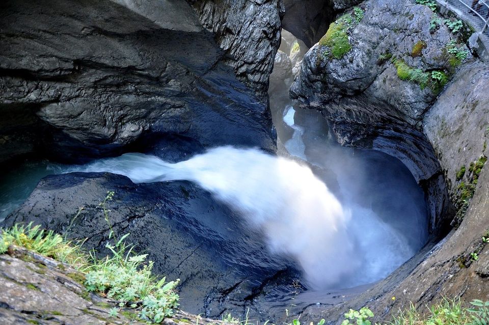
When you can hike around Lauterbrunnen
The valley floor between Stechelberg and Lauterbrunnen is walkable all year round, says Gimmelwald's village site. The trails above the valley are summer trails: the Sulwald to Grütschalp route runs from June to October.
The Staubbach Gallery and the Trümmelbach Falls open seasonally: in winter, access is closed because of the high risk of falling ice and rockfalls. The Staubbach Gallery opens from May to October, the falls inside the mountain from early April to early November: Trümmelbach Falls.
Trail marks, grades and safety
Swiss Hiking Trails marks paths by category: a yellow diamond for hiking trails, white-red-white for mountain trails and white-blue-white for alpine routes. In detail:
- Yellow diamond: hiking trail.
- White-red-white: mountain trail, mostly steep and narrow, partly exposed; the hardest passages are secured with ropes or chains. You must be sure-footed, free from vertigo, in good physical shape and aware of mountain dangers: rockfall, slipping and falling, sudden changes in the weather.
- White-blue-white: alpine route, partly over snowfields, glaciers or scree and through rock with short climbing passages, sometimes without a path. You must be sure-footed, free from vertigo, in very good physical shape and know mountain dangers very well.
- Winter hiking trails need extra care with weather and slipping, but are as easy as yellow trails.
Before you set off
For its mountain hikes, Interlaken Tourism lists sturdy mountain boots, a rucksack with a hip belt, sun protection, rain gear, poles, a first-aid kit, a picnic, enough to drink and a phone. Lauterbrunnen Tourism asks walkers to stay on signposted paths and take their rubbish home.
Emergency numbers: police 117, ambulance 144, Rega air rescue 1414.
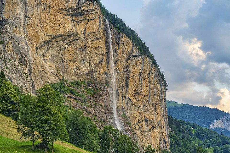
Winter walks in the valley
In winter, Pierre walks the valley floor. Lauterbrunnen Tourism lists groomed winter walking trails around the village, and a cross-country ski trail of around 16 km runs past the frozen waterfalls. Sports shops rent walking poles and crampons.
Above Isenfluh, Pierre's easy snowshoe loop with groups is the blue Sulwald Trail via the Mederalp. More on sledding and snowshoeing there: Isenfluh sledding and snowshoe trails.
What we tell our friends
Pierre Vetsch, founder, from days in the valley with guests. Answers recorded from August to November 2026.
- The mistake I see in the valley: people stop at the Staubbach and never walk the valley.
- I have walked from Lauterbrunnen to Trümmelbach with guests. In August, the valley is calm before 10:00 and after 17:00.
- From Stechelberg I have walked all the way to the Oberhornsee: up via Trachsellauenen, back down the other bank, and a picnic at the lake rather than a stop at an inn.
- On the Oberhornsee loop, people underestimate the climb and leave too late. Carry water and a few snack bars. I advise against it for families with young children, for people who rarely walk and for anyone not in good shape.
- Coming down from Wengen, I take the train.
- In winter, I walk the valley floor.
Hiking in Lauterbrunnen: your questions
What are some good hikes near Lauterbrunnen, Switzerland?
The flat valley walk towards Stechelberg for everyone; the climb past Trümmelbach to Wengen only for good, sure-footed and fearless mountain hikers, says Interlaken Tourism; and the trails from Stechelberg to Obersteinberg and the Holdri falls.
Is there a walk from Lauterbrunnen to Trümmelbach falls?
Yes. About 1 hour along the old village road, says Lauterbrunnen Tourism; the falls are about 3 km past the village, says their operator. Pierre has walked it with guests. The falls are closed from early November to early April.
How long does it take to walk from Wengen to Lauterbrunnen?
45 minutes on the direct path, or 1 h 10 via Wengwald, says Wengen Tourism. The train takes 14 minutes.
Can you walk from Lauterbrunnen to Mürren?
Yes. The usual way: the cable car climbs 686 m to Grütschalp in 4 minutes, then you walk via Winteregg to Mürren in about 1 h 15, says Jungfrau Railways. For a longer day, start at Isenfluh: bus 142 and the cable car to Sulwald, then 10.82 km via Grütschalp to Mürren in 3 h 40, says Interlaken Tourism.
Are there easy walks in Lauterbrunnen?
Yes. Lauterbrunnen to Stechelberg on the valley floor is easy, fairly flat and fine for pushchairs. The Legend Trail at Stechelberg is 3.9 km, about 70 minutes.
Can you hike behind a waterfall in Lauterbrunnen?
Yes, at the Staubbach. From the foot of the falls, a path climbs to the Staubbach Gallery, open from May to October.
Can you hike in Lauterbrunnen in winter?
Yes, on the valley floor and the groomed winter walking trails. The Staubbach Gallery and the Trümmelbach Falls are closed in winter because of falling ice and rock.
Keep reading
- Lauterbrunnen: our valley guide
- Hotels in Lauterbrunnen
- Where to eat in Lauterbrunnen
- Hiking in Wengen
- Mürren: our village guide
- All our hikes around Interlaken
- Isenfluh and Sulwald
Sources
- Lauterbrunnen Tourism, hiking, read 10 Nov 2026
- Lauterbrunnen Tourism, discover the valley, read 10 Nov 2026
- Lauterbrunnen Tourism, FAQ, read 10 Nov 2026
- Lauterbrunnen Tourism, Legend Trail Stechelberg, read 10 Nov 2026
- Lauterbrunnen Tourism, winter hiking, take care, incidents, read 10 Nov 2026
- Interlaken Tourism, Through the valley of the waterfalls, read 10 Nov 2026
- Interlaken Tourism, Relaxing hiking on the Lütschine, read 10 Nov 2026
- Interlaken Tourism, The Holdri falls, read 10 Nov 2026
- Interlaken Tourism, ViaBerna stage 14, read 10 Nov 2026
- Interlaken Tourism, To the Bällehöchst viewpoint, read 10 Nov 2026
- Interlaken Tourism, Isenfluh, armchair of the Bernese Oberland, read 10 Nov 2026
- Swiss Hiking Trails, Sulwald to Grütschalp, read 10 Nov 2026
- Swiss Hiking Trails, trail categories, read 10 Nov 2026
- Berggasthaus Tschingelhorn, read 10 Nov 2026
- Lobhornhütte SAC, read 10 Nov 2026
- Luftseilbahn Isenfluh-Sulwald, timetable, read 10 Nov 2026
- Jungfrau Railways, Staubbach Falls, read 10 Nov 2026
- Trümmelbach Falls, read 10 Nov 2026
- Wengen Tourism, Infoguide Wengen summer (PDF) and hiking, read 10 Nov 2026
- Gimmelwald village site, hiking, read 10 Nov 2026
- SBB timetable data, read 10 Nov 2026
Field notes: Pierre Vetsch, August to November 2026. Last checked 10 November 2026. Photos: Henrique Ferreira (Unsplash License), Hansueli Krapf (CC BY-SA 3.0), Whgler (CC BY-SA 3.0), Simisa (CC BY-SA 3.0) and PantaRhei (CC BY-SA 4.0), via Wikimedia Commons for the last four.
Want a local to plan a day in the valley around the falls that are running? Tell us your date. Ask about a private day


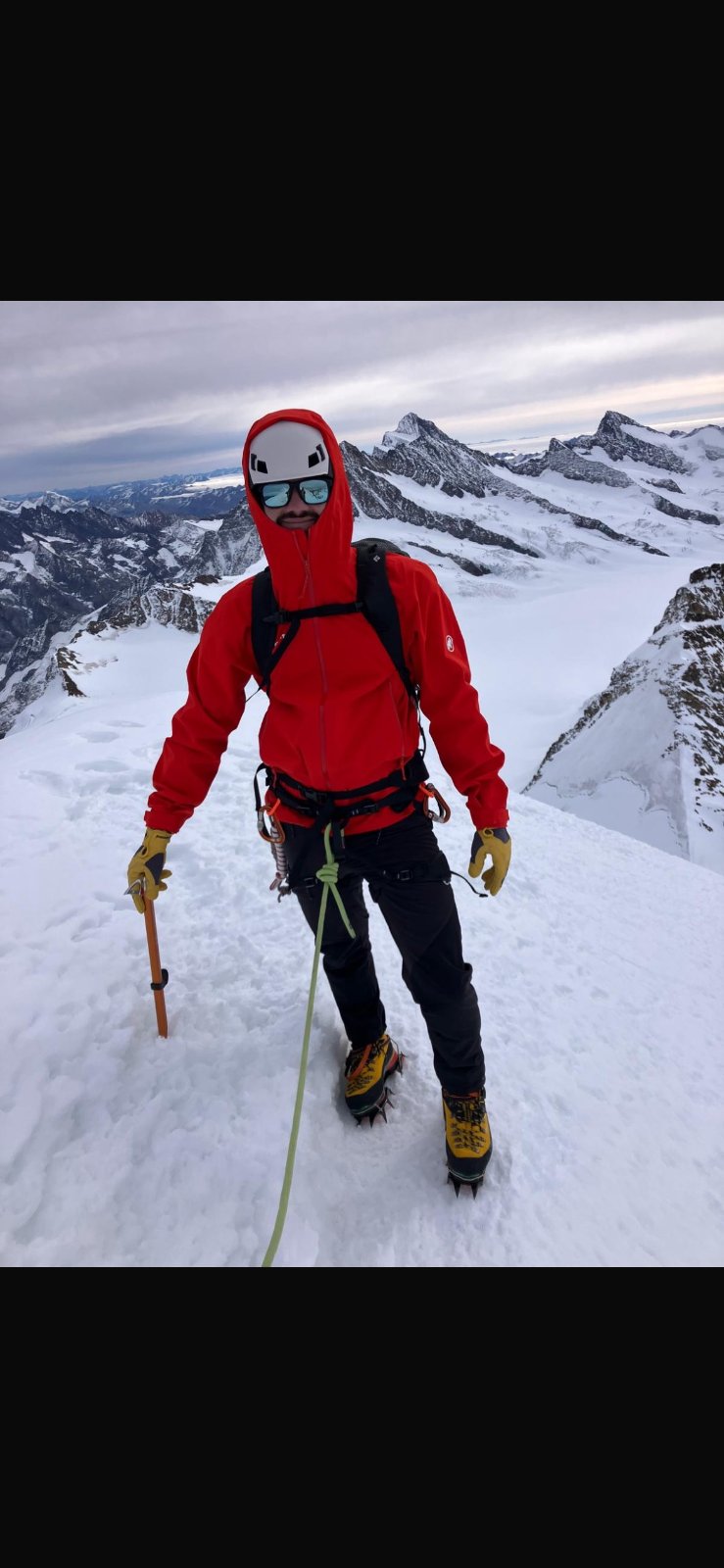
 Grüessech! That's hello in Bernese German. We're Pierre, Teona, Timoté and Olivia, and we all live around Interlaken.
Not sure? Ask a local
Tell us your date and what you like. A local answers on WhatsApp and tells you which free places fit your day. That is free too.