
Bernese Oberland
Hiking in Gimmelwald
Trails from 1,367 m into the Sefinental, up to the Sprutz and down to Stechelberg.
How do I get there?About an hour from Interlaken Ost, two changesGimmelwald, a car-free hamlet at 1,367 m above the Lauterbrunnen Valley, is a trailhead: the Sefinental, the Sprutz waterfall and the Rotstockhütte start from its cable car station. Most trails open from May or June to October; the road to Mürren stays open all year. Pierre's way in is on foot, downhill from Mürren, with the cable car out.
Written by Pierre Vetsch, founder and head guide. Last checked 10 November 2026.
Hiking in Gimmelwald at a glance
- Pierre's walk: Mürren down to Gimmelwald, then the cable car
Pierre Vetsch, August and September 2026 - Trail season: May or June to October; the road to Mürren all year
Gimmelwald Tourism, read 10 Nov 2026 - Signs: Yellow for easy hiking trails, white-red-white for mountain trails
Gimmelwald Tourism, read 10 Nov 2026 - Winter: A prepared trail up to Mürren and a snowshoe trail to Gimmelen
Gimmelwald Tourism, read 10 Nov 2026
Hikes from Gimmelwald, with official times
Seven hikes below, from the easy walk between Mürren and Gimmelwald, about 40 minutes down and 55 up and open all year, to two difficult days, the Rotstockhütte loop and Tanzbödeli to Stechelberg: good physical condition required, says Gimmelwald Tourism, and the second only for experienced mountain hikers. Times, climbs, grades and seasons from Gimmelwald Tourism, read on 10 November 2026.
- Also listed: the village walk, about 30 minutes, all year; down to Stechelberg and on to Lauterbrunnen, intermediate, about 2 h 20 and 550 m down; via the Sprutz, Spielbodenalp and Schiltalp to Mürren on the Northface Trail, intermediate, about 3 h, mid-June to end of October; up to the Grauseeli and the Schilthorn, about 5 h and 1,610 m up, July to mid-September: difficult, good physical condition required, only for experienced mountain hikers, with rope-secured passages, a steep and exposed final climb, and usually snow on the last part until the end of June or early July.
Mürren to Gimmelwald, or back up
Easy, about 40 min down, 55 min upA paved road with 270 m of height, open all year. Mürren Tourism gives 45 minutes. Pierre walks it down, then takes the cable car out.
Hiking from MürrenSagiweg: the Fluh and the old sawmill
Easy, 1 h 20A loop to a viewpoint over the valley as far as Wengen and a water-powered sawmill more than 160 years old: 190 m. Mid-May to end of October.
Allmiweg loop
Easy, about 1 hUp to the Gimmelwalder Allmi, facing the Jungfrau and the Ebnefluh, and back: 200 m. Early May to end of October.
Sprutz waterfall and Spielbodenalp
Intermediate, 1 h 30, 270 m upSteep in places, to the Sprutz, where the trail runs behind the waterfall, then on to Spielbodenalp, 30 minutes above Mürren. Mid-May to end of October.
The Sprutz loop from MürrenMap ©swisstopoSefinental to Chilchbalm
Intermediate, about 2 h 45Into the Sefinental and up past Firten to a basin under the Gspaltenhorn's north face, and back: 370 m. End of May to mid-October.
Gimmelwald to ChilchbalmMap ©swisstopoRotstockhütte loop over the Bryndli
Difficult, about 5 h, 790 m upPast the Sprutz and Spielbodenalp, steeply up to the Bryndli and on to the Rotstockhütte, then down the Sefinental. Difficult, good physical condition required, says Gimmelwald Tourism. Mid-June to early October; the hut closed on 3 October 2026 until spring.
Gimmelwald to RotstockhüttePhoto: Falk2, CC BY-SA 4.0Tanzbödeli and Obersteinberg to Stechelberg
Difficult, 6 to 9 hOver Busenalp and Busenbrand to Obersteinberg, then down to Stechelberg: 720 m up, 1,120 m down. The Tanzbödeli viewpoint is a steep side trip, about 45 minutes there and back and 80 m more. Difficult, good physical condition required, only for experienced mountain hikers; sure feet needed on the rocky path down to Obersteinberg. Mid-June to end of September.
The Tanzbödeli loop from MürrenMap ©swisstopoThe via ferrata from Mürren ends in Gimmelwald, 1 June to the end of October. It is graded K3, fairly difficult, and very exposed: without experience, go with a mountain guide. See our via ferrata page.
Our verdict
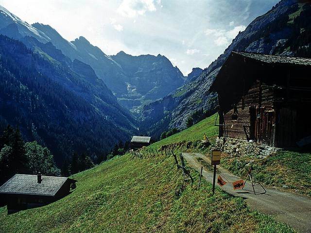
Two easy loops suit a short walk: the Sagiweg, 1 h 20 and 190 m of climb, from mid-May, and the Allmiweg, about 1 h and 200 m, from early May, both to the end of October.
With a full summer day, the Sefinental to Chilchbalm is the next step up: graded intermediate, about 2 h 45 and 370 m, into a basin under the Gspaltenhorn's north face, from the end of May to mid-October.
Skip the Rotstockhütte loop unless you are in shape: about 5 h and 790 m up, and Gimmelwald Tourism grades it difficult, good physical condition required.
Skip the Tanzbödeli route and the climb to the Schilthorn on a first visit: Gimmelwald Tourism grades both difficult, good physical condition required, only for experienced mountain hikers.
From November to April, none of these summer hikes is in season; only the village walk and the road to Mürren are open all year.
When you can hike from Gimmelwald
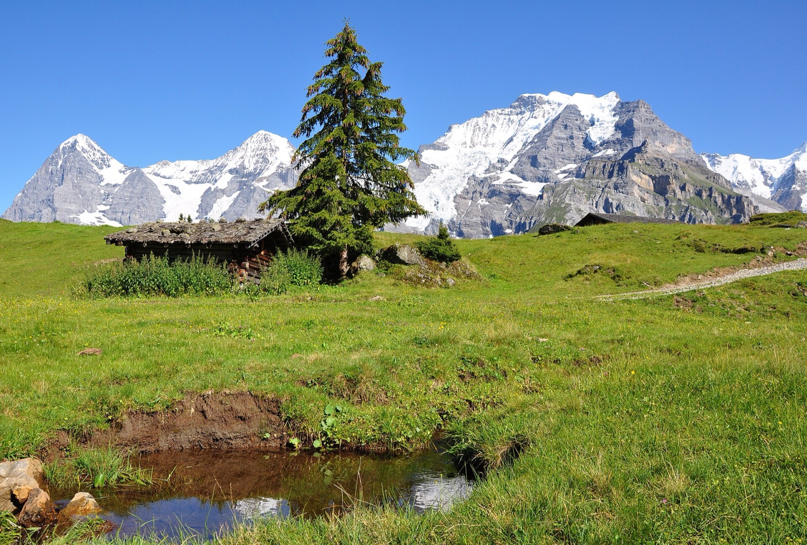
The village walk and the road to Mürren are open all year. The shorter hikes run from May to October, the high routes from mid-June or July to September or early October. In November and December 2026, only the year-round paths are in season.
The cable car through Gimmelwald closes for maintenance from 26 April to 7 May 2027; a shuttle bus runs through Mürren from 8:00 to 18:00.
Trail signs and safety
Before any hike, check that the trail is open and dress for fast weather changes, says Gimmelwald Tourism. Its advice in full:
- Check that the trail is open and not closed by snow or weather.
- Carry rain gear and warm clothes in a daypack: the weather changes fast.
- Take enough water and food. Do not drink from streams, especially in summer when cows graze higher up.
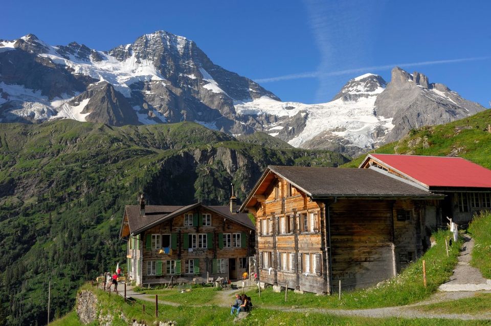
- Yellow signs mark easy hiking trails. White-red-white signs mark mountain trails that need special care.
- Close any gate you open, and respect private land.
Pierre on the Sprutz path: not for everyone.
Winter walks, snowshoes and sledges
Gimmelwald Tourism lists a prepared winter trail up to Mürren, on pressed snow: wear good shoes and take poles.
A snowshoe trail climbs about 450 m from the village via the Gimmelwalder Allmi to Restaurant Gimmelen, open in winter only: Mürren Tourism lists it closed until 19 December 2026.
People sledge down the road from Mürren, but it is not an official run: supply vehicles use it. Ride with care; the cable car takes you back up.
For a guided sled run at sunset, with fondue after, see our sunset sledding tour.
What we tell our friends
Pierre Vetsch, founder, from days in the Lauterbrunnen Valley with guests. Answers recorded from August to October 2026.
- I have walked down from Mürren to Gimmelwald more than five times.
- Do Gimmelwald last, on foot, going down: 45 minutes, 275 m lower, on a wide paved service road. The only climb is sitting in a cable car.
- I have been up to the Sprutz. It is not for everyone.
- In winter I only pass through Gimmelwald, but you can get there on a sledge or on skis.
Hiking in Gimmelwald: your questions
How to get from Gimmelwald to Mürren?
On foot, about 55 minutes up a paved road open all year, or 5 minutes by cable car.
Can you hike from Gimmelwald to Lauterbrunnen?
Yes: down to Stechelberg and along the valley floor, about 2 h 20 and 550 m down, graded intermediate. The first part, to Stechelberg, is open from May to October.
What is the best hike in Gimmelwald?
For most visitors, the walk down from Mürren: about 40 minutes on a paved road, easy, all year. For a summer day without a car, Pierre suggests Lauterbrunnen, Mürren, then this walk down. For a half day, the Chilchbalm hike into the Sefinental takes about 2 h 45, graded intermediate.
Is the Sprutz waterfall hike hard?
Yes, fairly: Gimmelwald Tourism grades it intermediate, 270 m up in about 1 h 30, steep in places. Pierre has done it and says it is not for everyone.
Can you hike in Gimmelwald in November?
Yes, but only on the year-round paths: the road to Mürren and the village walk. The other trails close at the end of October or earlier.
Keep reading
- Mürren: our village guide
- Hikes from Mürren
- Hotels in Gimmelwald
- Where to eat in Gimmelwald
- Via ferrata Mürren to Gimmelwald
- All our hikes in the region
Sources
- Gimmelwald Tourism, hiking, read 10 Nov 2026
- Gimmelwald Tourism, winter hiking, snowshoe trekking and sledding, read 10 Nov 2026
- Gimmelwald Tourism, via ferrata, read 10 Nov 2026
- Mürren Tourism, places to visit, read 10 Nov 2026
- Via ferrata Mürren-Gimmelwald, read 10 Nov 2026
- Mürren Tourism, closing dates autumn 2026 and spring 2027 (PDF, 12 October 2026), read 10 Nov 2026
- Mürren Tourism, about Mürren and Gimmelwald, read 10 Nov 2026
- Schilthorn Cableway, timetable and tariff, read 10 Nov 2026
- Schilthorn Cableway, Restaurant Gimmelen, read 10 Nov 2026
- SBB timetable data, read 10 Nov 2026
Field notes: Pierre Vetsch, August to October 2026. Train times: SBB sample for 20 January 2027, after the December timetable change. Last checked 10 November 2026. Photos: Falk2 (CC BY-SA 4.0), Hansueli Krapf (CC BY-SA 3.0), Yesuitus2001 (CC BY-SA 2.5), via Wikimedia Commons; Lauterbrunnen Tourismus (CC BY).
Want a local to pick the right trail for your day and the weather? Tell us your date. Ask about a private day

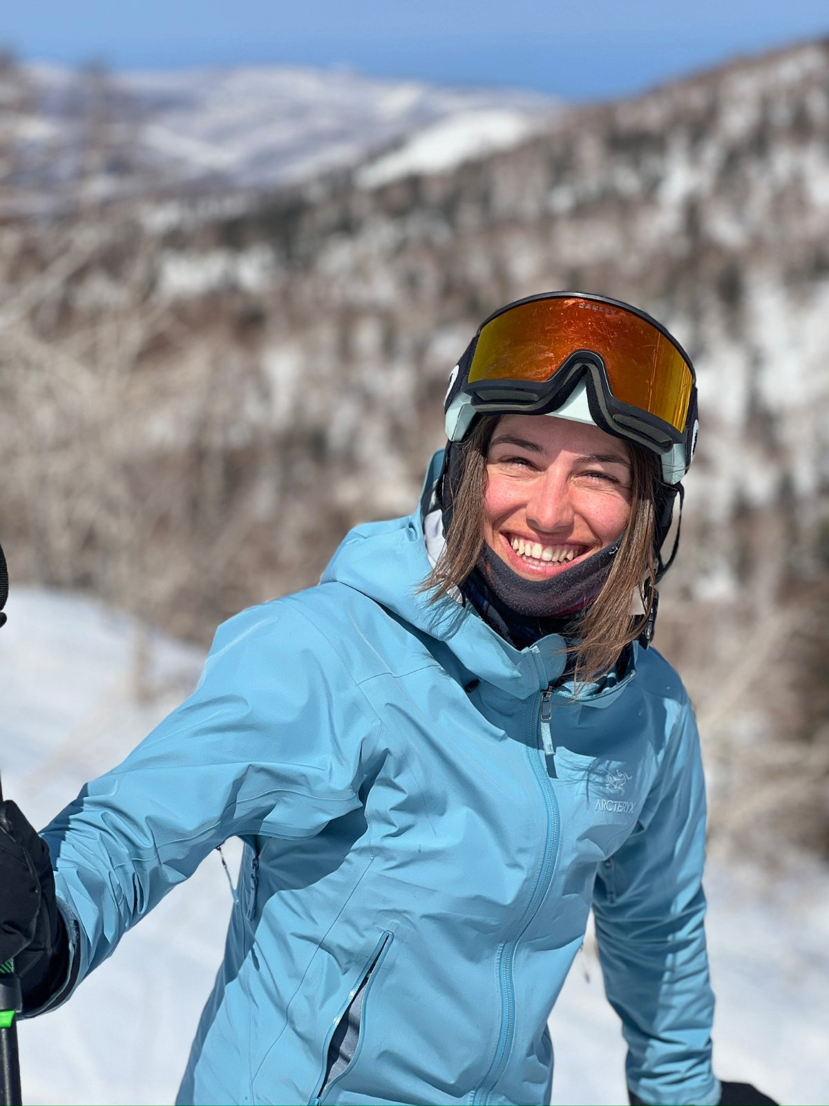
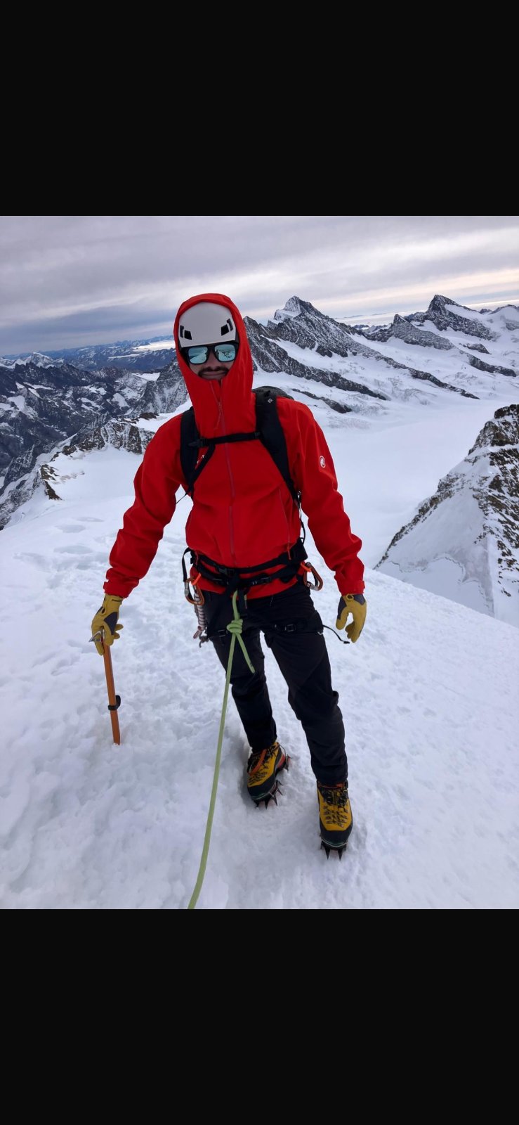
 Grüessech! That's hello in Bernese German. We're Pierre, Teona, Timoté and Olivia, and we all live around Interlaken.
Not sure? Ask a local
Tell us your date and what you like. A local answers on WhatsApp and tells you which free places fit your day. That is free too.