
Bernese Oberland
Hiking in Mürren, Switzerland
Trails from 1,650 m to the Allmendhubel, the alps and the Schilthorn.
How do I get there?50 min by train from InterlakenMürren is a car-free village at 1,650 m, 50 minutes by train from Interlaken, with trails along its terrace and up to the Allmendhubel, the alps and the Schilthorn. The high trails are summer trails. Pierre's walk is the 45 minutes down to Gimmelwald, which he has done more than five times. On a grey day, he says, stay in the valley.
Written by Pierre Vetsch, founder and head guide. Last checked 10 November 2026.
Hiking in Mürren at a glance
- Pierre's walk: Mürren down to Gimmelwald, 45 minutes
Pierre Vetsch and Mürren Tourism, read 10 Nov 2026 - Grades: Easy, medium or challenging, set by the Schilthorn Cableway
schilthorn.ch, read 10 Nov 2026 - Allmendhubel funicular: Closed until 11 December 2026, and again from 5 April to 28 May 2027
Schilthorn Cableway, read 10 Nov 2026 - Alp huts on the trails: Spielbodenalp and Rotstockhütte closed until spring 2027
Mürren Tourism, list of 12 Oct 2026
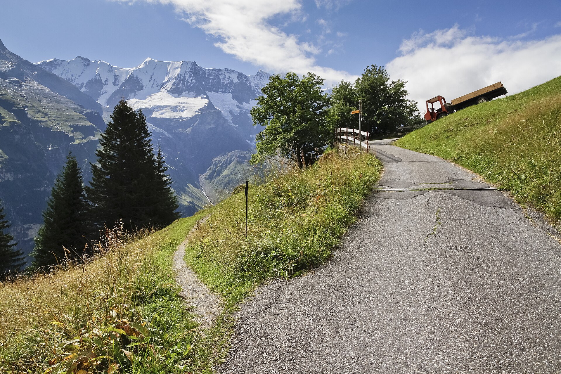
Hikes from Mürren, with official times
The two hikes graded easy are the Flower Trail, a 20-minute loop at the top of the Allmendhubel, and the Blumental Panorama Trail, 1 h 15 from Mürren station. Times and grades come from the Schilthorn Cableway, Mürren Tourism, Jungfrau Railways and SwitzerlandMobility, read on 10 November 2026.
Mürren to Gimmelwald
45 min downMürren Tourism gives 45 minutes on foot; the road is open all year, says Gimmelwald Tourism. Pierre's notes: a wide paved service road, 275 m down. Ride the cable car on to Stechelberg, or back up.
Is Gimmelwald worth the stop?Northface Trail
Medium, 2 h 30From Mürren via Spielbodenalp and the Schiltalp, where cheese is made in the alpine season, to the Allmendhubel. 12 panels tell the story of the north faces. Interlaken Tourism's route sheet gives 6.24 km and 2 h.
The Northface TrailMap ©swisstopoBlumental Panorama Trail
Easy, 1 h 15From Mürren station through the Blumental to the Allmendhubel, past grazing cattle. The other way round is a little easier, says the cableway.
Mürren to the AllmendhubelMap ©swisstopoFlower Trail
Easy, 20 minA loop around the top of the Allmendhubel, on a wide path fit for strollers, with up to 150 mountain flowers in summer. The funicular from Mürren takes four minutes.
The Allmendhubel funicularMountain View Trail
Medium, 5 km, 2 hFrom Grütschalp through mountain forest and alpine meadows to the Allmendhubel: 520 m up and 110 m down, says SwitzerlandMobility. Allow about 1 h 35 the other way.
The Mountain View TrailMap ©swisstopoGrütschalp to Mürren
About 1 h 15Via Winteregg, facing the Eiger, Mönch and Jungfrau, then the train back, says Jungfrau Railways. As the Detective Trail, with puzzles and a treasure chest for children, Mürren Tourism allows 2.5 h.
Grütschalp to MürrenMap ©swisstopoMürren to Spielbodenalp
Just under 1 hOnly on foot, through Gimmelen, on the Northface Trail. The alp restaurant opens from June to September.
Sprutz waterfall loop
Not for everyoneA loop from Mürren to the Sprutz above Gimmelwald, steep in places, where the trail runs behind the waterfall. Gimmelwald Tourism gives mid-May to the end of October. Pierre has climbed to the Sprutz and says it is not for everyone.
The Sprutz loopMap ©swisstopoBirg to the Grauseeli and back
Medium, 2 hFrom the Birg cable car station over the Seewlifuhre down to the Grauseeli, a lake that mirrors the mountains.
Birg to the GrauseeliMap ©swisstopoBirg to the Schilthorn summit
Challenging, 1 h 30Over 350 m of ascent from Birg to the top, says the Schilthorn Cableway.
Birg to the SchilthornPhoto: Leonhard Lenz (Wikimedia Commons), CC0Mürren to the Schilthornhütte
About 2 h 15 upVia Kanonenrohr to the hut at 2,433 m, says its listing. An alpine route: you sometimes need your hands, and the season usually runs from late June to mid-October. From Birg it is about 40 minutes down.
Mürren to the SchilthornhütteMap ©swisstopoMürren to the Schilthorn on foot
Difficult, 9.73 km, 4 h 40A climb in three steep steps via Suppenalp, Wasenegg and the Grauseeli, on signposted mountain trails. At Tistelwang the smooth slate is secured with ropes, but care is still needed, and the very steep climb to the Grauseeli is not for everyone, says the route sheet by Berner Wanderwege, on Interlaken Tourism's site.
Mürren to the SchilthornMap ©swisstopoLonger loops
Our trail pages also list the Rotstockhütte, Tanzbödeli, Grauseeli, Sousläger and Schilthorn loops from Mürren. Check times and conditions with Mürren Tourism before a long day. All routes: Hikes around Interlaken.
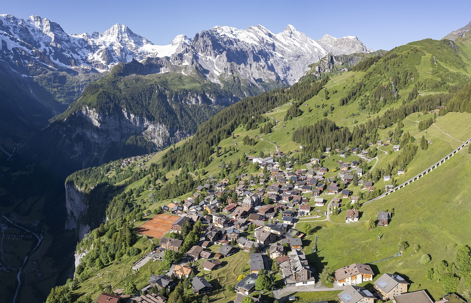
Our verdict
With small children, the Blumental Panorama Trail is graded easy: 1 h 15 from Mürren station to the Allmendhubel, and the Flower Trail on top takes 20 minutes on a path fit for strollers.
For half a day, the Northface Trail is graded medium: 2 h 30 via Spielbodenalp and the Schiltalp, with 12 panels on the north faces.
Skip the climb from Mürren to the Schilthorn on foot unless you know steep mountain trails: 4 h 40 in three steep steps, ropes at Tistelwang, and the very steep climb to the Grauseeli is not for everyone, says Berner Wanderwege.
In November 2026, skip the high trails: they are summer trails, and the Allmendhubel funicular, where three of them end, is closed until 11 December 2026. The walk left is the road down to Gimmelwald, open all year.
When you can hike around Mürren
The trails above Mürren are summer trails. Spielbodenalp opens from June to September, the Schiltalp in the summer season when the weather is fine.
In autumn 2026, Spielbodenalp has been closed since 28 September and the Rotstockhütte since 3 October, until spring. The Schilthornhütte plans to open for winter on 21 November 2026.
The Allmendhubel funicular, where the Northface, Blumental and Mountain View trails end, is closed until 11 December 2026 and again from 5 April to 28 May 2027.
The via ferrata from Mürren to Gimmelwald runs from 1 June to 31 October: see our via ferrata page.
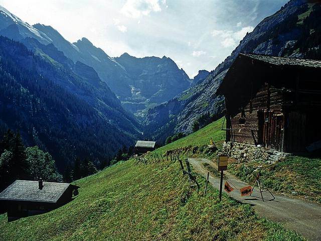
Trail grades and safety
The Schilthorn Cableway grades its hikes easy, medium or challenging. The longer routes run on signposted mountain hiking trails, says the Berner Wanderwege route sheet, which recommends sturdy mountain boots, rain gear, walking poles, a first-aid kit, enough to drink and a phone. Mürren Tourism's code of conduct:
- Do not stray from the footpaths.
- Obey information and warning signs.
- Seek shelter during a thunderstorm.
- Do not light fires.
- Take your rubbish with you.
Pierre's rule: on a grey or rainy day, stay in the valley, you will see nothing. Before going up, he checks the webcams and MeteoSwiss.
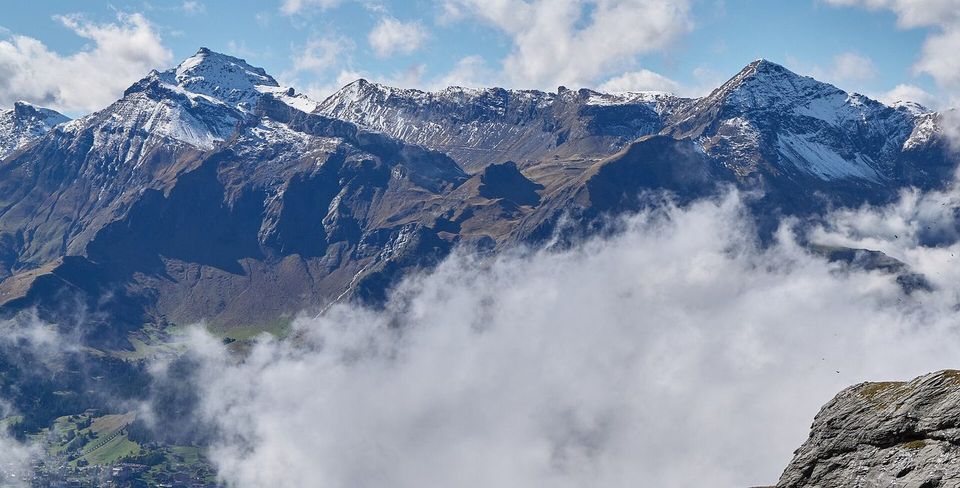
Winter walks and snowshoeing from Mürren
The Liechtliweg between Mürren and Winteregg is lit by over 19,000 LED lights in winter. Other winter trails run from Schiltgrat via Gimmeln to Mürren, and from Mürren via Sonnenberg to the Allmendhubel. Winter trails carry purple signposts: stay on them, check the weather and snow before you set off, and heed the avalanche service's warnings, says Mürren Tourism.
Two snowshoe routes start in Mürren: up to Chänelegg via Aegerten, and through the forest to the Gimmelen restaurant. Sports shops in the village hire snowshoes and poles. Mürren Tourism's rules: use the signposted trails, check the snow, avalanche conditions and weather before you set off, and do not go on a snowshoe hike on your own.
For a first snowshoe outing without a guide, Pierre picks the Chänelegg loop, from Mürren station. Both routes in detail: Snowshoeing in Mürren.
What we tell our friends
Pierre Vetsch, founder, from days in Mürren with guests and on snowshoes. Answers recorded from August to November 2026.
- I have walked down from Mürren to Gimmelwald more than five times. Do it last, on foot, downhill: 45 minutes, 275 m lower, on a wide paved service road. The only climb happens sitting down.
- For a summer day without a car, I say Lauterbrunnen, Mürren, then the walk down to Gimmelwald.
- I have climbed up to the Sprutz. It is not for everyone.
- To avoid the crowds, come to Mürren before 10:00 or after 14:00.
- On a grey or rainy day, stay in the valley. You will see nothing from up here.
Hiking in Mürren: your questions
Can you walk down from Mürren to Lauterbrunnen?
Yes, from May to October. Walk 45 minutes down to Gimmelwald, then about 2 h 20 on to Lauterbrunnen through Stechelberg, says Gimmelwald Tourism. The path from Gimmelwald to Stechelberg is open from early May to the end of October; outside those months, take the cable car from Gimmelwald to Stechelberg and bus 141.
Can you walk from Lauterbrunnen to Mürren?
Yes, Mürren Tourism says Mürren can be reached on foot. To shorten it, ride the cable car 686 m up to Grütschalp in 4 minutes, then walk to Mürren in about 1 h 15.
Is there a hike from Mürren to Grütschalp?
Yes. The path via Winteregg links them: Jungfrau Railways gives about 1 h 15 from Grütschalp to Mürren. The Mountain View Trail links Grütschalp and the Allmendhubel in 2 h.
Is there a hike from Birg to Mürren?
Yes, in summer: about 40 minutes down from Birg to the Schilthornhütte, says its listing, then the path via Kanonenrohr to Mürren. Ask Mürren Tourism for the time down. In winter, Birg sits in the middle of the ski area.
How long is the walk from Mürren to Gimmelwald?
45 minutes on foot, says Mürren Tourism. Pierre has walked it more than five times: a wide paved service road, 275 m down.
How long is the North Face Trail in Mürren?
2 h 30, graded medium, says the Schilthorn Cableway. Interlaken Tourism's route sheet gives 6.24 km.
Where does the Allmendhubel Flower Trail start?
At the Panorama Restaurant at the top of the Allmendhubel funicular. The loop takes about 20 minutes. The funicular is closed until 11 December 2026.
Can you hike in Mürren in November?
Yes, on the paved road down to Gimmelwald, open all year, says Gimmelwald Tourism. The trails higher up are summer trails: the alp restaurants are closed until spring and the Allmendhubel funicular until 11 December 2026. On a grey day, Pierre says stay in the valley.
Keep reading
- Mürren: our village guide
- Hotels in Mürren
- Where to eat in Mürren
- Hiking from Gimmelwald
- Hiking in Wengen
- All our hikes in the region
- Schilthorn: our summit guide
Sources
- Schilthorn Cableway, hiking, read 10 Nov 2026
- Schilthorn Cableway, Flower Trail, read 10 Nov 2026
- Schilthorn Cableway, timetable and closures, read 10 Nov 2026
- Mürren Tourism, hikes, read 10 Nov 2026
- Mürren Tourism, places to visit, read 10 Nov 2026
- Mürren Tourism, Detective Trail, read 10 Nov 2026
- Mürren Tourism, winter hikes, read 10 Nov 2026
- Mürren Tourism, snowshoeing, read 10 Nov 2026
- Mürren Tourism, closing times (PDF, 12 Oct 2026), read 10 Nov 2026
- SwitzerlandMobility, Mountain View Trail (route 351), read 10 Nov 2026
- Jungfrau Railways, Winteregg and Mürren, read 10 Nov 2026
- Interlaken Tourism, Northface Trail (Berner Wanderwege), read 10 Nov 2026
- Interlaken Tourism, Mürren to the Schilthorn (Berner Wanderwege), read 10 Nov 2026
- Schilthornhütte, read 10 Nov 2026
Field notes: Pierre Vetsch, August to November 2026. Last checked 10 November 2026. Photos: Michal Gorski (CC BY-SA 3.0), Chensiyuan (CC BY-SA 4.0), Ximonic (Simo Räsänen) (CC BY-SA 4.0), Falk2 (CC BY-SA 4.0), Leonhard Lenz (CC0), via Wikimedia Commons.
Want a local to pick the right trail for your day and the weather? Tell us your date. Ask about a private day

 Grüessech! That's hello in Bernese German. We're Pierre, Teona, Timoté and Olivia, and we all live around Interlaken.
Not sure? Ask a local
Tell us your date and what you like. A local answers on WhatsApp and tells you which free places fit your day. That is free too.