
Bernese Oberland
Hiking in Kandersteg
Trails from the village, at about 1,200 m, up to Oeschinensee, Sunnbüel, Allmenalp and the Gasterntal.
How do I get there?1 h 12 by train from InterlakenKandersteg is a village at the head of the Kandertal, 1 h 12 by train from Interlaken, with trails from the station and from three lifts: Oeschinensee, Sunnbüel and Allmenalp. You can walk up to Oeschinensee in about 90 minutes. The high trails and the Gasterntal are summer routes; in winter the lake paths open with the gondola on 5 December 2026, those on Sunnbüel on 19 December.
Written by Pierre Vetsch, founder and head guide. Last checked 10 November 2026.
Hiking in Kandersteg at a glance
- On foot to Oeschinensee: About 90 minutes and 450 m from the gondola valley station
oeschinensee.ch, read 10 Nov 2026 - From the gondola top station: 20 to 30 minutes to the shore, fine with a pram
oeschinensee.ch, read 10 Nov 2026 - Grades: Easy, medium or difficult from the tourist office; T1 to T6 from the Swiss Alpine Club for hut routes
Tourism Adelboden-Lenk-Kandersteg and SAC, read 10 Nov 2026 - Lifts in winter: Oeschinensee daily from 5 December 2026, Sunnbüel daily from 19 December 2026
Lift companies, read 10 Nov 2026
Hikes to and around Oeschinensee
The walk up from Kandersteg station to Oeschinensee is medium, 4.4 km in 1 h 45, and from the gondola top station the Läger loop is easy, 4.6 km in 1 h. Times, distances and grades come from the tourist office's route pages, the gondola company and the Swiss Alpine Club, read on 10 November 2026.
Kandersteg to Oeschinensee on foot
Medium, 4.4 km, 1 h 45From the station, 423 m up to the lake. From the gondola valley station the company counts about 90 minutes and 450 m on trail A, a challenging trail: hiking boots recommended, no prams.
Kandersteg to OeschinenseeMap ©swisstopoKandersteg to Oeschinen via the Wätterbach
Medium, 4.8 km, 1 h 55A steeper climb of 519 m to the gondola top station. The gondola company asks for mountain hiking gear on this trail F.
Via the WätterbachMap ©swisstopoLäger loop from the gondola
Easy, 4.6 km, 1 hFrom the top station via the Läger viewpoint and back, 107 m up and down. The direct path C to the shore takes 20 to 30 minutes and suits prams.
The Läger loopPhoto: Deralpinbergsteiger, CC BY-SA 4.0Panoramic loop via the Heuberg
Medium, 9.0 km, 3 hAbove the lake via Läger, Heuberg and Oberbärgli, 453 m up and down, on steep slopes with drops: you need a head for heights and sure feet. In May old avalanche snow can lie in the gullies, with a risk of breaking through. On 10 November 2026 the gondola company marked the Heuberg section partly slippery with snow: only for experienced hikers with hiking boots and winter experience.
The Heuberg loopMap ©swisstopoBlüemlisalphütte
Difficult, 11.2 km, 5 h 30From Kandersteg station past the lake and the Bärgli alps to the Hohtürli, 1,665 m up. Partly exposed: for sure-footed hikers in good trekking shoes, says the tourist office. On 10 November 2026 the trail from Oberbärgli to the Hohtürli was snow-covered, in winter conditions. The hut stands at 2,835 m, says the gondola company, and opens in June 2027.
To the BlüemlisalphüttePhoto: Oxensepp (talk) 21:48, 4 October 2011 (UTC), CC BY-SA 4.0Fründenhütte via the Fründschnuer
SAC T4, 3 h 30 to 4 h1,130 m of climbing from the gondola top station, over an exposed ledge fitted with fixed ropes: the only way in since the south-shore path closed. The Swiss Alpine Club calls it a demanding alpine hike in no-fall terrain, only in dry conditions; the tourist office says the hut is for experienced, sure-footed mountain hikers, and experts recommend a via ferrata set and a helmet. Out of season the hut is closed, the trail is not maintained and its protections are removed. The hut, at 2,562 m, opens in June 2027.
To the FründenhütteMap ©swisstopoDoldenhornhütte
SAC T2, 2 h 45750 m up from Kandersteg station on a mountain path past the Waldhotel Doldenhorn; the gondola company gives about 2 h 20 on its trail J, challenging, only with proper hiking gear. The hut, at 1,915 m, opens on 15 May 2027.
To the DoldenhornhüttePhoto: Hulla, CC BY-SA 3.0Öschiwald loop
Easy, 2.4 km, 35 minA short forest loop from the gondola valley station, 47 m up and down.
The Öschiwald loopMap ©swisstopo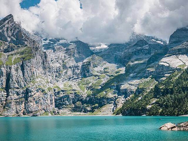
Our verdict
Oeschinensee comes first: walk up from the station, 4.4 km and 1 h 45; the gondola company calls the trail from the lower station challenging, 450 m up, hiking boots recommended, no strollers. With a pram or young children, ride the gondola and take path C, 20 to 30 minutes to the shore.
In our sample for 20 January 2027, Kandersteg was 1 h 12 from Interlaken Ost, with one change in Spiez: plan a full day, not a half day.
For a second day, the Arvenseeli loop from Sunnbüel is easy, 5.9 km in 1 h 30, from 5 June 2027. Skip the Bergwasser Trail with beginners despite its easy grade: the tourist office says the partly exposed route suits sure-footed hikers in good trekking shoes.
Skip the Fründenhütte unless you are an experienced, sure-footed mountain hiker: the Swiss Alpine Club calls the Fründschnuer a demanding alpine hike in no-fall terrain, only in dry conditions.
In winter, skip the Gasterntal, closed from about 15 November to 15 May; the Oeschinensee gondola runs daily from 5 December 2026.
Hikes from Sunnbüel and the Gemmi Pass
The Sunnbüel cable car climbs in about eight minutes to 1,936 m, at the end of the valley.
Sunnbüel to the Gemmi Pass
Moderate, about 3 hThe historic Gemmi path past the Berghotel Schwarenbach, 1.5 h from the top station, to the Gemmi Lodge in about 3 h; the trail flyer gives 1 h 15 plus 1 h 30. The tourist office grades the crossing moderate; the hard part is the steep descent from the pass if you walk down to Leukerbad, otherwise ride the cable car and check its timetable first. A summer route: the Sunnbüel cable car runs daily from 5 June 2027, and open trails can still be partly under snow. In winter a separate marked route goes to the pass.
Sunnbüel to the GemmiPhoto: Foto-Falk, CC BY-SA 4.0Round walk via the Daubensee
Medium, 17.5 km, 5 h 20From the top station past Schwarenbach and round the Daubensee, 505 m up and down.
The Daubensee loopMap ©swisstopoArvenseeli loop
Easy, 5.9 km, 1 h 30A walk from the top station to the three deep-blue Arvenseeli, fed by meltwater in a stone-pine forest, 106 m up and down.
The Arvenseeli loopMap ©swisstopoStierebärgli plant trail
Easy, 5.1 km, 1 h 27A loop from the top station, 141 m up.
The plant trailMap ©swisstopoBergwasser Trail to the Gasterntal
Easy, 7.8 km, 2 h 30Only 50 m up but 789 m down, from Sunnbüel through a gorge and mountain forest into the Gasterntal and along the young Kander. The tourist office grades it easy, but its own page says the gorge needs sure feet and the partly exposed route suits sure-footed hikers in good trekking shoes.
The Bergwasser TrailMap ©swisstopoValley station to Sunnbüel on foot
About 2 h 15From the valley station at 1,203 m up the Gemmi path via the Stock to 1,936 m, says the cable car's trail flyer.
Walking up to SunnbüelMap ©swisstopoKander falls through the Chluse
Medium, 2.3 km, 50 minA short loop from the Sunnbüel valley station past the falls in the gorge, 165 m up and down.
The Kander fallsMap ©swisstopo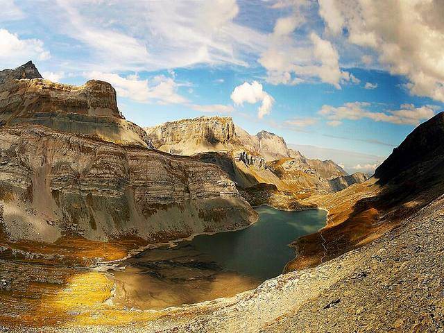
Hikes from Allmenalp
Three hikes use Allmenalp, at about 1,700 m: an easy one up from Kandersteg via the Üschinental, 7.5 km in 2 h 40, and two difficult ones down to Kandersteg for sure-footed hikers, over the Golitschen Pass in 5 h or via the Alpschelehubel in 4 h 30. Its cable car ran from 9 May to 25 October in 2026.
Kandersteg to Allmenalp via the Üschinental
Easy, 7.5 km, 2 h 40Up the side valley to the top station, 618 m of climb. Ride the cable car down.
Up to AllmenalpMap ©swisstopoAllmenalp to Kandersteg over the Golitschen Pass
Difficult, 9.7 km, 5 hVia the Steintal, First, the Golitschen Pass and Alp Golitschen down to Höhwald: 863 m up and 1,415 m down. At the top the path crosses rock, then a narrow path leads down: the tourist office says this descent is only for experienced, sure-footed hikers.
Over the Golitschen PassMap ©swisstopoAllmenalp to Kandersteg via the Alpschelehubel
Difficult, 12.7 km, 4 h 30Along the Alpschelengrat to the Alpschelenhubel, for sure-footed hikers with a head for heights: 550 m up and 1,104 m down.
Via the AlpschelehubelMap ©swisstopoHikes in the Gasterntal
The Gasterntal has two easy walks, from Kandersteg through the Chluse gorge to Selden, 8.9 km in 3 h, and the Selden loop, 5.4 km in 1 h 50, plus the difficult climb to the Balmhornhütte; the valley closes from about 15 November to 15 May. Its bus runs from June to October, on phone reservation.
Kandersteg into the Gasterntal
Easy, 8.9 km, 3 hFrom the station through the Chluse gorge to Selden and Heimritz, 432 m up. Come back on the Gasterntal bus; reservation is essential.
Into the GasterntalMap ©swisstopoBalmhornhütte
Difficult, 8.2 km, 3 h 30From Kandersteg into the valley and up a sometimes exposed path with wooden stairs, cables and poles, 789 m up; SAC grade T3, for sure-footed hikers in good trekking shoes. Go only when the approach is free of snow: in late autumn it is often icy, and in winter the trail is not maintained, its cable railings and bridges are taken down and the climb needs extensive alpine experience. From the Hotel Waldhaus the approach is shorter, and the SAC says less fit hikers can manage it.
To the BalmhornhütteMap ©swisstopo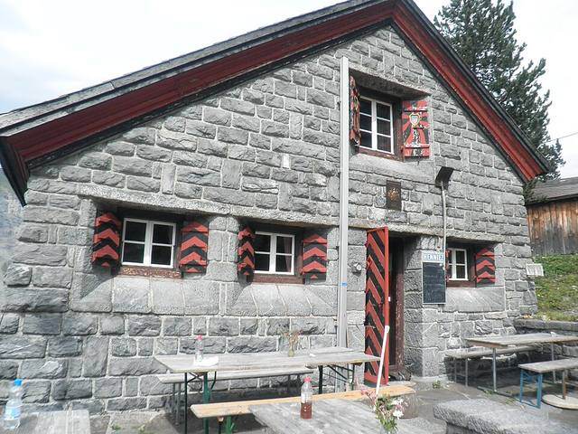
Walks from the village
Eleven walks start at the station or in the village and need no lift, from the World Heritage loop Oeschigässli, 3.5 km in 50 minutes, to the crossing over the Sattelhore to Kiental, 18.1 km in 7 h.
- Ending in Kandersteg: Via Alpina stage 13 from Griesalp over the Hohtürli, and the walk from Elsigenalp over the Golitschen Pass. Starting here: Via Alpina stage 14 to Adelboden.
World Heritage loop Oeschigässli
Easy, 3.5 km, 50 minAn easy walk through Kandersteg with insights into nature, history and the UNESCO World Heritage area, 40 m up.
The Oeschigässli loopMap ©swisstopoWildnis-Trail
Easy, 4.8 km, 1 h 35Go from post to post, nine in all, learn about the wild and solve the quiz questions. 170 m up and down.
The Wildnis-TrailMap ©swisstopoKander loop to Eggeschwand
Easy, 5.8 kmA loop along the Kander past the Scout Centre, 37 m of climb.
The Eggeschwand loopMap ©swisstopoPort and Libige loop
Medium, 6.5 km, 2 h269 m up and down from the station.
The Libige loopMap ©swisstopoJegertosse and Fisialp
Medium, 12.3 km, 5 h 30A long round walk from the Waldhotel Doldenhorn, 988 m up and down.
The Fisialp roundMap ©swisstopoKandersteg to Blausee
Easy, 5.2 km, 1 h 25Down the valley along the Kander to the weir, then through meadows and forest: 22 m up, 299 m down. Bus 230 brings you back.
Walking to BlauseePhoto: MartyRus, CC BY-SA 4.0Kandersteg to Blausee via Felsenburg
Easy, 8.8 km, 2 h 45A longer way to Blausee, 119 m up and 434 m down.
Via FelsenburgMap ©swisstopoLötschberg north ramp to Frutigen
Medium, 19.1 km, 5 h 25From Eggeschwand down the Lötschberg line's north ramp to Frutigen, where you see the portal of the Lötschberg Base Tunnel: 240 m up, 664 m down.
The north ramp trailPhoto: Sinenomine2, CC BY-SA 3.0Lötschberg Panoramaweg to Kiental
Medium, 19.5 km, 6 h 30From the station via Schlafegg and Ramslauenen to Kiental, 743 m up and 937 m down.
The PanoramawegMap ©swisstopoKandersteg to Kiental over the Sattelhore
Medium, 18.1 km, 7 hA long crossing, 1,254 m up and 1,477 m down.
Over the SattelhoreMap ©swisstopoWhen you can hike around Kandersteg
The high trails are summer trails. The Oeschinensee gondola runs from 24 April to 19 September 2027, then in autumn until 7 November 2027. Sunnbüel opens daily from 5 June 2027, after its overhaul from 18 April to the end of May. The Gasterntal opens around 15 May, and its bus from June.
On 10 November 2026 the paths at Oeschinensee were open, but the Heuberg section was slippery with snow, path B was a construction zone and the path to the Fründenhütte was closed until about June. At Allmenalp the trails down to Kandersteg were open and the mountain trails closed for the winter.
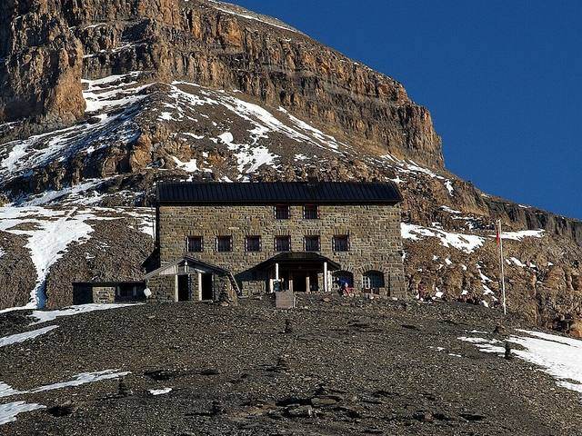
Trail grades and safety
The tourist office grades its routes easy, medium or difficult; the Swiss Alpine Club grades hut routes from T1 to T6. Read both before you go:
- Open trails may still be partly under snow, warns the tourist office. You hike at your own risk.
- Routes marked red and white are mountain trails. On the Bergwasser Trail and the routes to the Blüemlisalphütte and the Balmhornhütte, the tourist office describes partly exposed terrain for sure-footed hikers in good trekking shoes. Trail A to Oeschinensee is a challenging trail: hiking boots recommended, no prams.
- At Oeschinensee, the zone south of the line from the Oeschibach to the lake has been closed since November 2019 because of the Spitze Stei: rockfalls and debris flows can happen there at any time without warning. Fences and buoys mark it, and the municipality warns of danger to life inside it.
- The Fründschnuer is a demanding alpine hike in no-fall terrain: only in dry conditions, with a via ferrata set and a helmet recommended. Out of season its protections are removed.
- Wild camping is not allowed.
Grades from Tourism Adelboden-Lenk-Kandersteg and the Swiss Alpine Club; closures from the Municipality of Kandersteg, read 10 November 2026.
Winter walks and snowshoe trails
In winter, ride the Oeschinensee gondola, daily from 5 December 2026 to 7 March 2027, and take path C to the shore in about 30 minutes, or path D via the Läger, about 35. The only way up from the village on foot is snowshoe trail A, about 90 minutes; depending on the weather, the gondola company says it suits only experienced snowshoers. When the lake has frozen and snow covers the ice, an Ice Walk is marked out on it: step on the ice only when the company has cleared it, check the avalanche bulletin, and wear sturdy, warm winter shoes.
From 19 December 2026, Sunnbüel opens daily for its Altelsblick winter path, the snowshoe trails Ufem Stock and Spittelmatten, and the winter route to the Gemmi Pass: graded moderate, 8.9 km, 3 h.
More on the winter paths: Winter hiking in Kandersteg.
What we tell our friends
Pierre Vetsch, founder, from days at the lake with guests. Answers recorded in October 2026.
- I have been to Oeschinensee many times, with guests, friends and family, in summer, autumn, winter and spring.
- I have seen Oeschinensee in winter myself, without skis.
- My advice for Oeschinensee: walk up rather than ride the gondola, it is worth the effort.
- The rowing-boat renter at Oeschinensee told me when to come to avoid the crowds: early, late in the afternoon, on a weekday, or in May, June or September.
- The mistake I see visitors make with the lakes around Interlaken is skipping Oeschinensee.
Hiking in Kandersteg: your questions
Is it possible to hike to the Oeschinensee without taking the cable car?
Yes. Trail A from the gondola valley station takes about 90 minutes and climbs 450 m, says the gondola company, and Pierre's advice is to walk up: it is worth the effort. In winter it is a snowshoe trail for experienced snowshoers, depending on the weather.
How long is the walk from Kandersteg to Oeschinensee?
About 1 h 45 from the station, 4.4 km and 423 m up, says the tourist office. From the gondola top station, the shore is 20 to 30 minutes away.
How hard is the lake Oeschinen hike?
Easy from the top station: path C is wide gravel and partly asphalt, fine with a pram. From the valley, trail A is graded challenging and needs hiking boots.
What is the best hike in the Oeschinensee?
We do not rank trails. For the view from above the lake, the tourist office's loop via the Heuberg runs 9.0 km and 453 m up, graded medium, on steep slopes that need a head for heights and sure feet; check its snow status in spring and autumn.
When does oeschinensee hike open?
The gondola runs on weekends from 14 to 29 November 2026, then daily from 5 December 2026 in winter and from 24 April 2027 in summer. On 10 November 2026 the paths near the lake were open; the Doldenhornhütte opens on 15 May 2027, the Blüemlisalphütte and the Fründenhütte in June 2027.
Where to park for oeschinensee hike?
In the village's hiking car parks, cheaper for hikers, says the gondola company. The valley station car parks may be full from about 11:00.
Keep reading
- Kandersteg: our village guide
- Where to stay in Kandersteg
- Where to eat in Kandersteg
- Oeschinensee from Interlaken
- The Sunnbüel cable car
- Lake Oeschinen in winter
- Oeschinensee: swimming, colour and crowds
- All our hikes in the region
- Walk from Kandersteg to Blausee
Sources
- Swiss Alpine Club, route portal, read 10 Nov 2026
- Tourism Adelboden-Lenk-Kandersteg, kandersteg oeschinensee, read 10 Nov 2026
- Oeschinensee gondola, en, read 10 Nov 2026
- Tourism Adelboden-Lenk-Kandersteg, kandersteg waetterbach oeschinen, read 10 Nov 2026
- Tourism Adelboden-Lenk-Kandersteg, laeger oeschinensee, read 10 Nov 2026
- Tourism Adelboden-Lenk-Kandersteg, heuberg oeschinensee, read 10 Nov 2026
- Tourism Adelboden-Lenk-Kandersteg, blueemlisalphuette 3, read 10 Nov 2026
- Swiss Alpine Club, route portal, read 10 Nov 2026
- Tourism Adelboden-Lenk-Kandersteg, fruenden mountain hut 2 562 m, read 10 Nov 2026
- Municipality of Kandersteg, Spitze Stei closures, read 10 Nov 2026
- Tourism Adelboden-Lenk-Kandersteg, erholungsgebiet oeschiwald, read 10 Nov 2026
- Sunnbüel cable car, read 10 Nov 2026
- Sunnbüel cable car, trail flyer 2026, read 10 Nov 2026
- Tourism Adelboden-Lenk-Kandersteg, rundwanderung daubensee, read 10 Nov 2026
- Tourism Adelboden-Lenk-Kandersteg, arvenseeli 4, read 10 Nov 2026
- Tourism Adelboden-Lenk-Kandersteg, pflanzenweg stierebaergli 1, read 10 Nov 2026
- Tourism Adelboden-Lenk-Kandersteg, bergwasser trail gasterntal, read 10 Nov 2026
- Tourism Adelboden-Lenk-Kandersteg, kanderfaelle 1, read 10 Nov 2026
- Tourism Adelboden-Lenk-Kandersteg, allmenalp wanderung, read 10 Nov 2026
- Tourism Adelboden-Lenk-Kandersteg, first golitsche, read 10 Nov 2026
- Tourism Adelboden-Lenk-Kandersteg, alpschelenhubel, read 10 Nov 2026
- Allmenalp cable car, read 10 Nov 2026
- Allmenalp cable car, read 10 Nov 2026
- Tourism Adelboden-Lenk-Kandersteg, gasterntal xi9vkxlc, read 10 Nov 2026
- Tourism Adelboden-Lenk-Kandersteg, rundwanderweg selden gandboedeli, read 10 Nov 2026
- Tourism Adelboden-Lenk-Kandersteg, balmhorn hut, read 10 Nov 2026
- Swiss Alpine Club, route portal, read 10 Nov 2026
- Gasterntal, access and bus, read 10 Nov 2026
- Tourism Adelboden-Lenk-Kandersteg, welterbe rundweg oeschigaessli, read 10 Nov 2026
- Tourism Adelboden-Lenk-Kandersteg, wildnis trail, read 10 Nov 2026
- Tourism Adelboden-Lenk-Kandersteg, kandersteg, read 10 Nov 2026
- Tourism Adelboden-Lenk-Kandersteg, bahnhof eggeschwand, read 10 Nov 2026
- Tourism Adelboden-Lenk-Kandersteg, biberg 4, read 10 Nov 2026
- Tourism Adelboden-Lenk-Kandersteg, port libige, read 10 Nov 2026
- Tourism Adelboden-Lenk-Kandersteg, jegertosse fisialp, read 10 Nov 2026
- Tourism Adelboden-Lenk-Kandersteg, blausee wanderung, read 10 Nov 2026
- Tourism Adelboden-Lenk-Kandersteg, loetschberger nordrampe 1, read 10 Nov 2026
- Tourism Adelboden-Lenk-Kandersteg, kandersteg felsenburg blausee, read 10 Nov 2026
- Tourism Adelboden-Lenk-Kandersteg, loetschberg panoramaweg 1, read 10 Nov 2026
- Tourism Adelboden-Lenk-Kandersteg, kandersteg sattelhore kiental, read 10 Nov 2026
- Oeschinensee gondola, tarife fahrplan, read 10 Nov 2026
- Sunnbüel cable car, read 10 Nov 2026
- Oeschinensee gondola, winterwandern, read 10 Nov 2026
- Oeschinensee gondola, ice walk, read 10 Nov 2026
- Tourism Adelboden-Lenk-Kandersteg, gemmipass tour sunnbueel kandersteg 1, read 10 Nov 2026
- Sunnbüel cable car, read 10 Nov 2026
- Oeschinensee gondola, essen und trinken, read 10 Nov 2026
- Tourism Adelboden-Lenk-Kandersteg, gemmipass 2314 m 1, read 10 Nov 2026
- Municipality of Kandersteg, Spitze Stei closures, read 10 Nov 2026
Field notes: Pierre Vetsch, October 2026. Last checked 10 November 2026. Photos: Himmel S (Unsplash License), Deralpinbergsteiger (CC BY-SA 4.0), Foto-Falk (CC BY-SA 4.0), Hulla (CC BY-SA 3.0), Oxensepp (CC BY-SA 4.0), the last four via Wikimedia Commons.
Want a local to pick the right trail for your day and the weather? Tell us your date. Ask about a private day
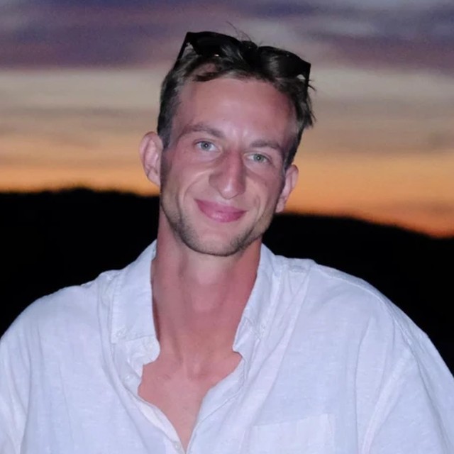
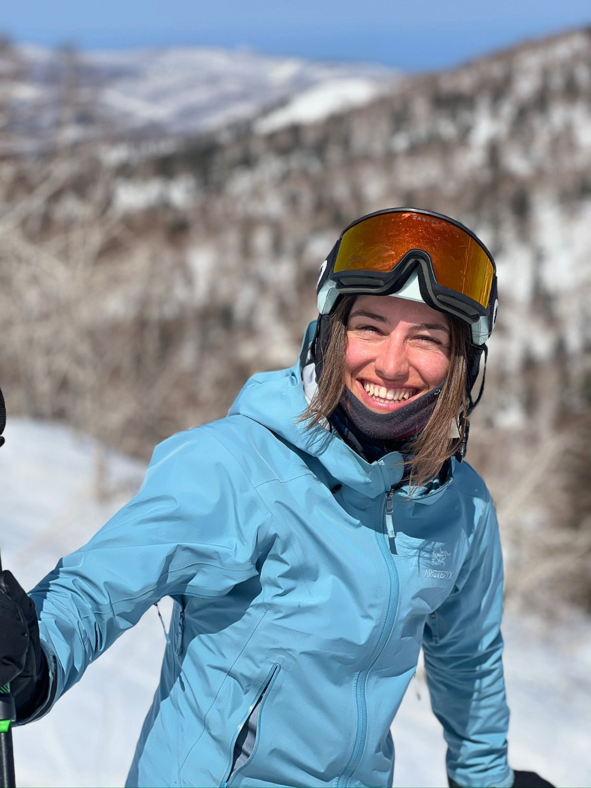
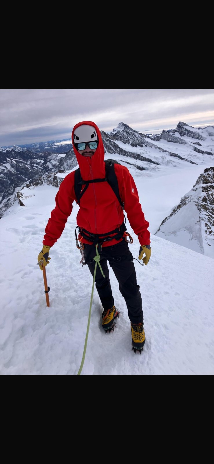
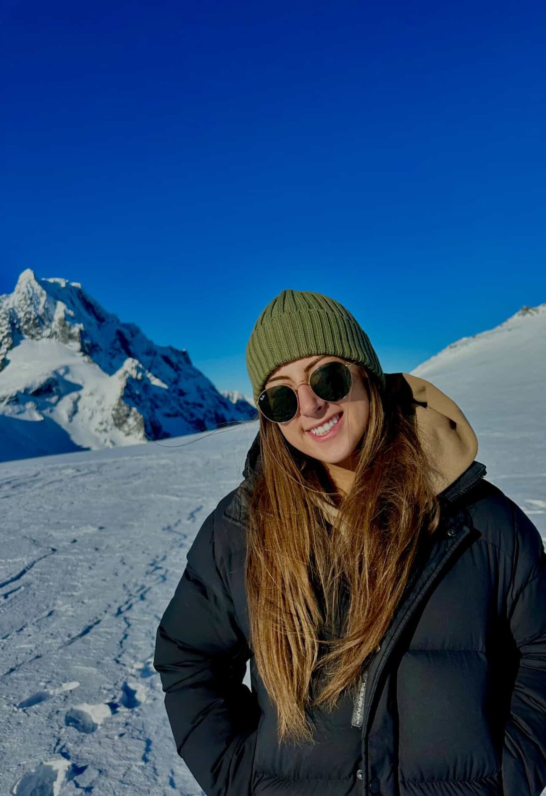 Grüessech! That's hello in Bernese German. We're Pierre, Teona, Timoté and Olivia, and we all live around Interlaken.
Not sure? Ask a local
Tell us your date and what you like. A local answers on WhatsApp and tells you which free places fit your day. That is free too.