
Grütschalp to Mürren winter trail
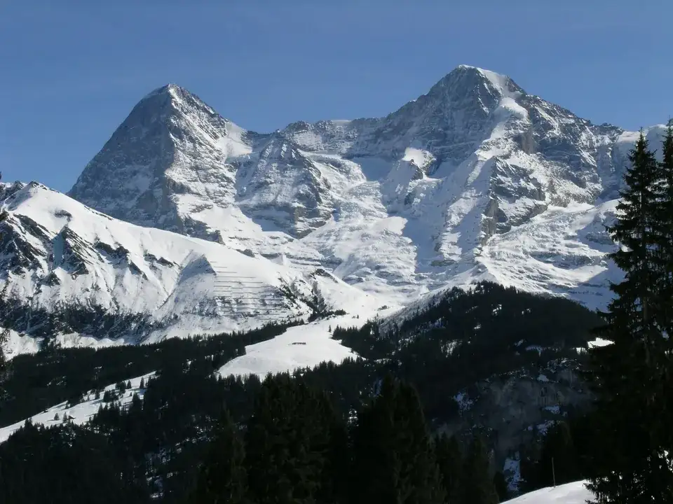
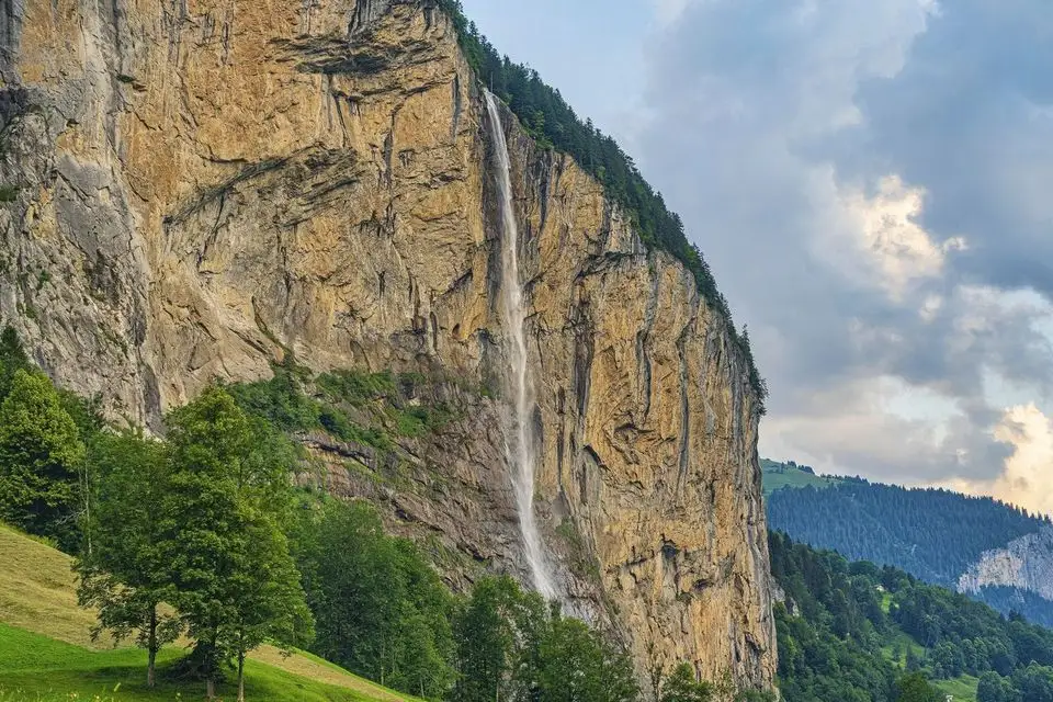
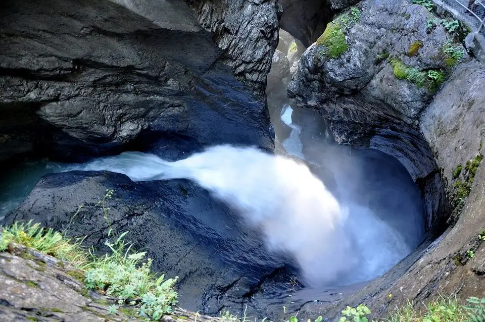
4.5 km from Lauterbrunnen, Grütschalp to Mürren, 1 h 40.
Free to walkEasy · About 1 h 40Plan itA winter walk: This one is on our winter list. Switch to Winter above, or see our summer hikes. Summer hikes ›
Quick facts
About this trail
A prepared winter walking trail: follow the pink signs. Good boots with grip are enough on most days.
Route by Berner Wanderwege.
Route map
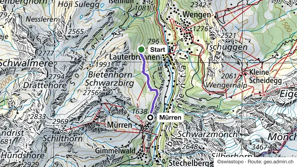
How do I get to the start of the Grütschalp to Mürren winter trail?
Train via Interlaken to Lauterbrunnen, then up to Grütschalp; back from Mürren via Grütschalp and Lauterbrunnen.
Trains, buses and lifts: check the timetable in the SBB app on the day. Trails close after storms and heavy snow.
Good to know
Before you go
Can I do it?
- Level: Easy
- Gear: No. It is a prepared winter walking trail: follow the pink signs. Good boots with grip are enough on most days.
Grütschalp to Mürren winter trail: quick answers
How long is the Grütschalp to Mürren winter trail?
4.5 km, about 1 h 40, with 153 m up and 12 m down.
Do I need snowshoes on the Grütschalp to Mürren winter trail?
No. It is a prepared winter walking trail: follow the pink signs. Good boots with grip are enough on most days.
When is the Grütschalp to Mürren winter trail open?
December to March (months recommended by the official page; snow permitting). Trails close after storms and heavy snow.
Need a guide?
Your own local guide for the day, just your group. We take care of the route, the lifts and the food. You just walk.
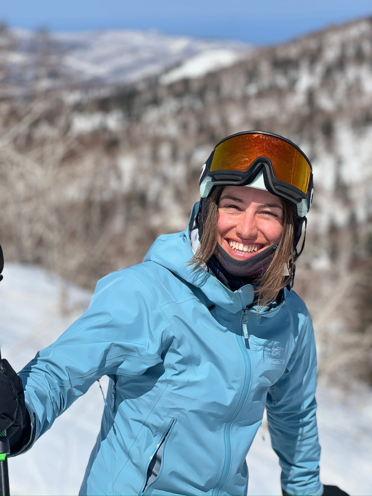
Teona, ski guide and farm tours, lives in InterlakenAsk Teona on WhatsAppMore winter hikes and huts
Mürren, our local guide ›Hikes from Mürren ›
See all hikes and huts