
Kiental: Pochten loop

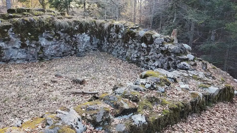
A 3.2 km round from Kiental (Ramslauenen stop), about 1 h on foot.
Free to walkMedium · About 1 hPlan itA summer hike: This one is on our summer list. Switch to Summer above, or see our winter hikes. Winter hikes ›
Quick facts
Highlights
About this hike
Waymarks: White-red-white mountain trail.
Route map
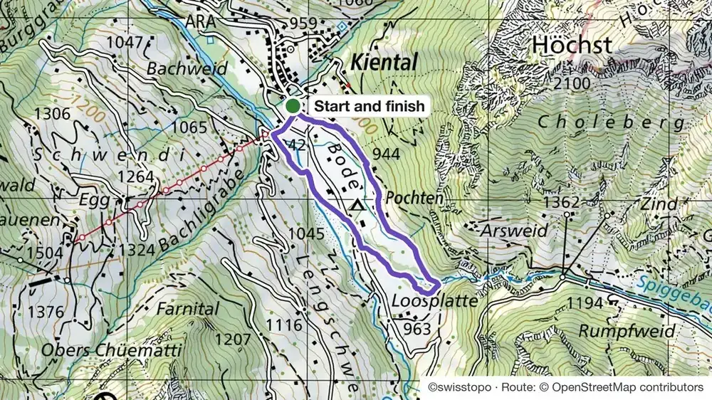
How do I get to the start of the hike “Kiental: Pochten loop”?
Train to Reichenbach, then PostBus to Kiental. You finish where you started.
Trains, buses and lifts: check the timetable in the SBB app on the day.
Good to know
Before you go
Can I do it?
- Level: T2 · Mountain trail, terrain sometimes steep, sure footing useful
- Fitness: 38 m up and 38 m down, about 1 h on foot
- Footwear: For mountain trails, good shoes with grip. For valley walks, trainers are fine.
Kiental: Pochten loop: quick answers
How long is the hike “Kiental: Pochten loop”?
3.2 km (loop), about 1 h on foot, with 38 m up and 38 m down. The highest point is 960 m.
How difficult is the hike “Kiental: Pochten loop”?
Medium. On the Swiss hiking scale it is T2: mountain trail, terrain sometimes steep, sure footing useful. Waymarks: white-red-white mountain trail.
When can I do the hike “Kiental: Pochten loop”?
May to November.

Need a guide?
Want a local with you? Tell us your date and your group. We tell you honestly if we can guide this one, or which trail we would pick for you.
Teona, ski guide and farm tours, lives in InterlakenAsk Teona on WhatsApp