
Interlaken to Merligen
EasyLake Thun3 h 47
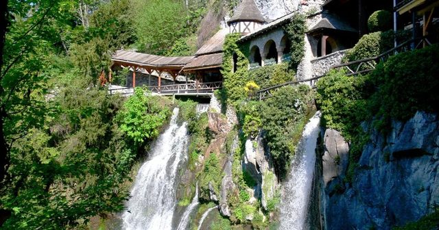
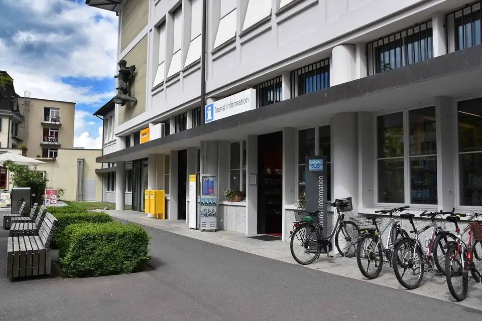

12.9 km from Interlaken (Unterseen) to Merligen, about 3 h 47 on foot.
Free to walkEasy · About 3 h 47Plan itQuick facts
Distance12.9 km · One way
TimeAbout 3 h 47
Up and down282 m up · 272 m down
LevelT1 · Hiking trail, easy, no technical difficulty
SeasonWalkable much of the year, snow possible in midwinter
Highest point727 m
Highlights
Start: Interlaken (Unterseen), 566 m
Highest point: 727 m
Finish: Merligen, 566 m
About this hike
Waymarks: Hiking trail, yellow trail markers.
Route map
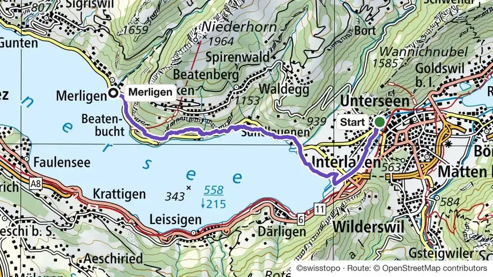
StartUp and down along the wayFinish
How do I get to the start of the Interlaken to Merligen hike?
Starts at the stop: Unterseen, Stadthausplatz (bus). It ends at Merligen, 566 m.
Trains, buses and lifts: check the timetable in the SBB app on the day.
Transport and passes
Good to know
Trail statusCheck the trail status on the morning you go. Paths close after storms and early snow.
TimetableTrains, buses and lifts: check the timetable in the SBB app on the day.
Before you go
Weather changes fastFog up high? Pick a valley walk. Ask us on WhatsApp if you are not sure.
Check the last lift and busLifts and mountain buses stop early. We always tell you the last one down.
Can I do it?
- Level: T1 · Hiking trail, easy, no technical difficulty
- Fitness: 282 m up and 272 m down, about 3 h 47 on foot
- Footwear: For mountain trails, good shoes with grip. For valley walks, trainers are fine.
Interlaken to Merligen: quick answers
How long is the Interlaken to Merligen hike?
12.9 km (one way), about 3 h 47 on foot, with 282 m up and 272 m down. The highest point is 727 m.
How difficult is the Interlaken to Merligen hike?
Easy. On the Swiss hiking scale it is T1: hiking trail, easy, no technical difficulty. Waymarks: hiking trail, yellow trail markers.
When can I do the Interlaken to Merligen hike?
Walkable much of the year, snow possible in midwinter.
Run by us · Just your group
Need a guide?
Your own local guide for the day, just your group. We take care of the route, the lifts and the food. You just walk.
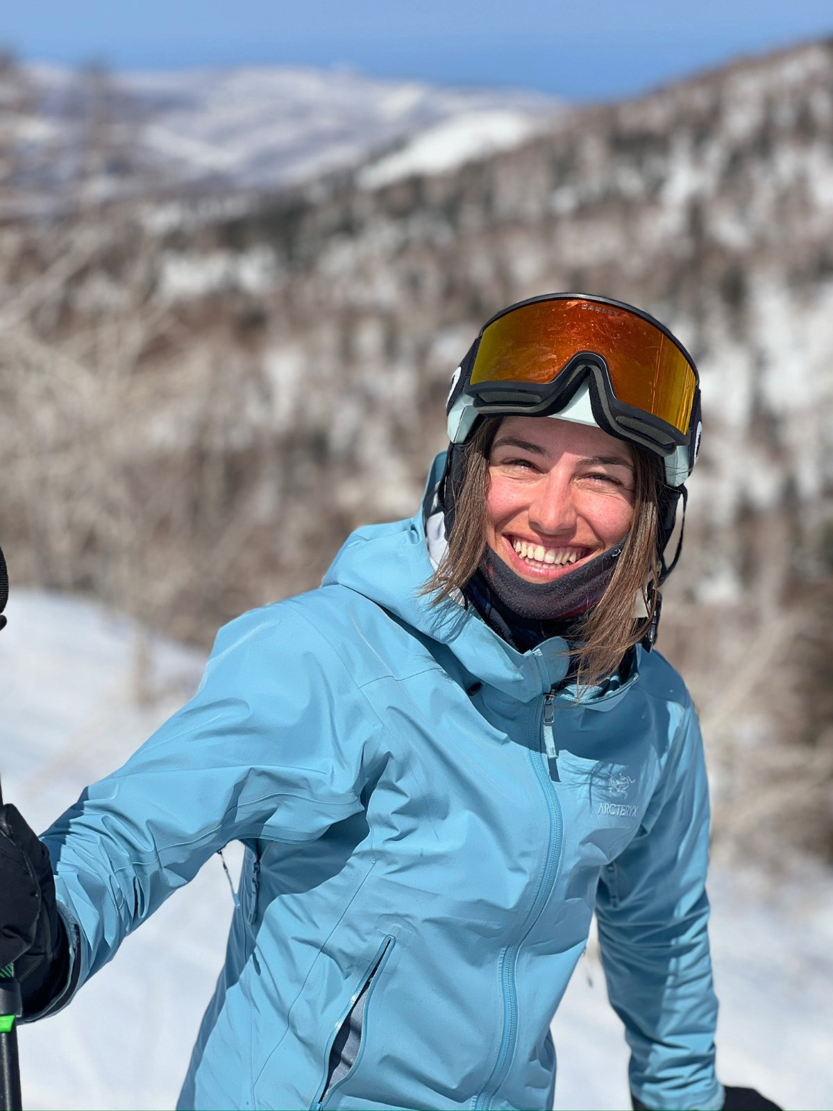
Teona, ski guide and farm tours, lives in InterlakenAsk Teona on WhatsAppMore winter hikes and huts
Lake Thun, our local guide ›
See all hikes and hutsWhere these facts come from
Route, distance, height, time and grade from our map, checked against the official route and the Swiss trail markings on 23 and 24 October 2026. Official page: interlaken.swiss. Official page ›